Site Map Generator
Make a clean, presentation-ready site map for any address—without QGIS, Illustrator, or map-style JSON.
Architects, urban designers, planners, and students all need the same thing at the start of a project: a clear map of the site that looks good on a presentation board. Screenshots from Google Maps are cluttered with pins and labels, and full GIS workflows take hours to set up for a single image.
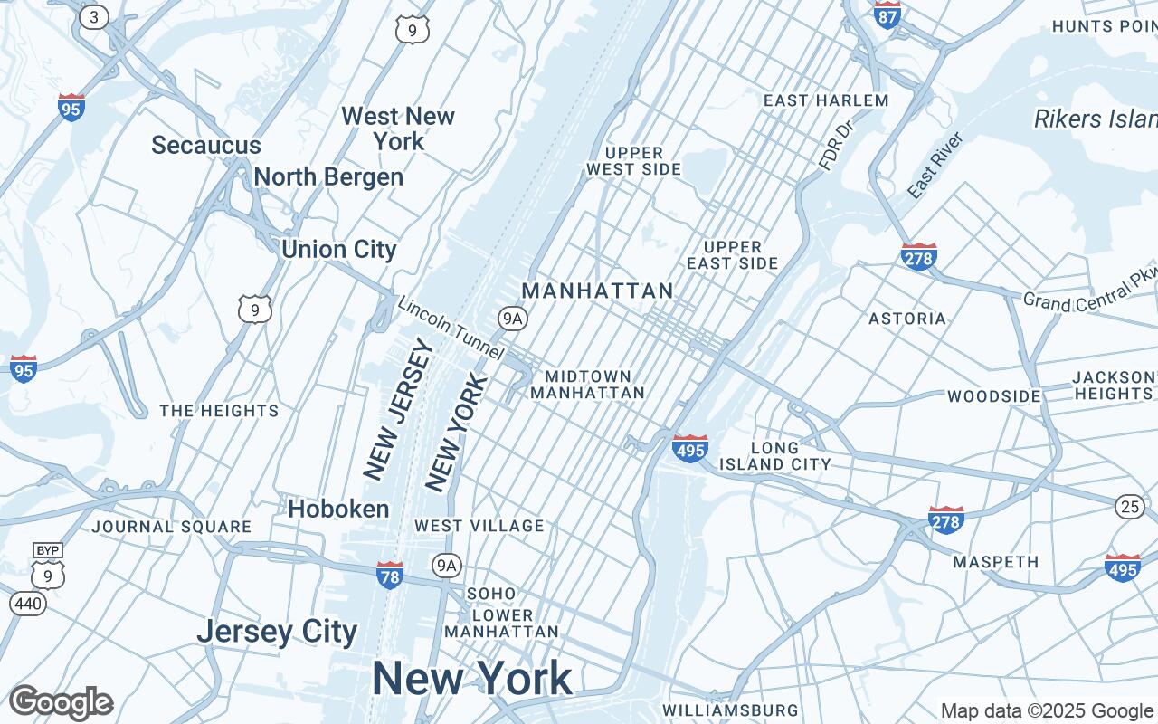
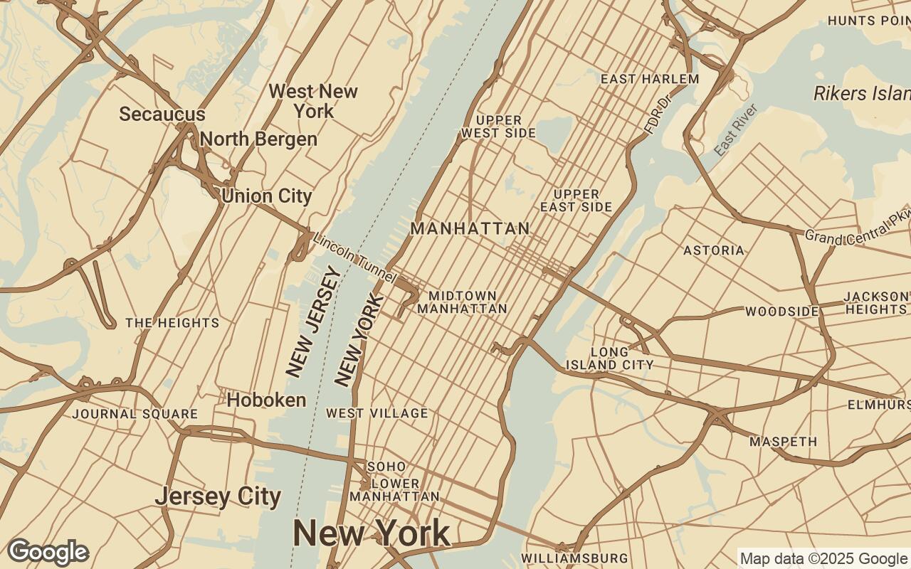
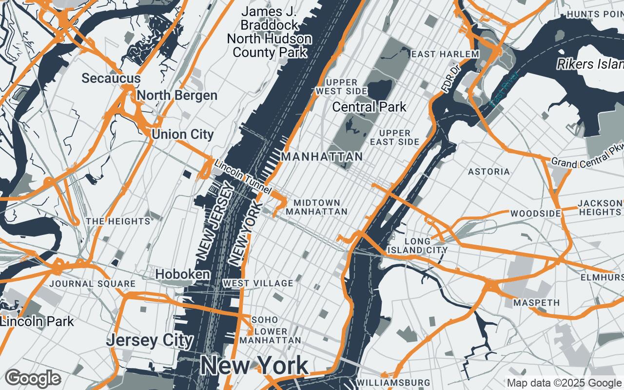
Styled Map turns that job into a two-minute workflow. Search the site address, pick an architectural map template, toggle the layers you want—buildings, roads, water, parks, transit, labels—and export a sharp PNG sized for a 16:9 slide, a square crop, or an A4/A3 layout.
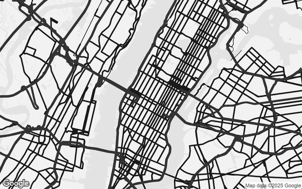
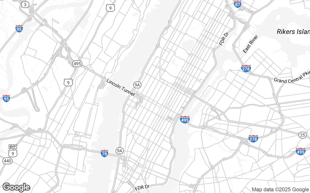
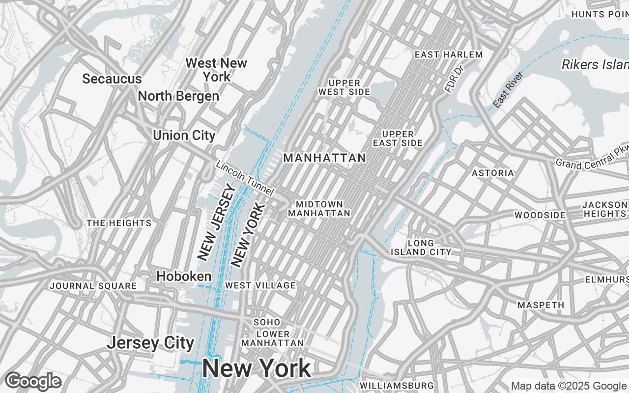
Every template is tuned for presentation work: muted palettes, controlled label density, and geometry that reads clearly at board scale. Use them as-is or adjust the detail level from a minimal figure-like map to a fully detailed context view.
Start from a map template
Pick a template, adjust layers and density, then export a PNG.
Frequently asked questions
How do I make a site map for an architecture project?
Open the Styled Map editor, search for your site's address or a nearby landmark, pick a map template, adjust the visible layers and detail level, and export a PNG. The whole flow takes about two minutes and requires no sign-up.
Is the site map generator free?
Yes. You can search any location, use the map templates, adjust layers and density, and export PNG images for free, without creating an account.
What export sizes are supported?
You can export a 16:9 slide format, a square crop, A4 portrait, A3 landscape, or a size matched to your current viewport. Exports are rendered at 2x scale for crisp results in decks and printed boards.
Can I hide roads, labels, or other map layers?
Yes. The editor includes toggles for buildings, roads, labels, water, parks and green space, transit, and points of interest, plus a detail level control that switches between simple, balanced, and detailed map density.
Do I need QGIS or GIS experience?
No. Styled Map is built for presentation maps rather than analysis, so there is no data import, projection setup, or styling language to learn. If you need a beautiful site map image quickly, this is the faster path.