Context Map Generator
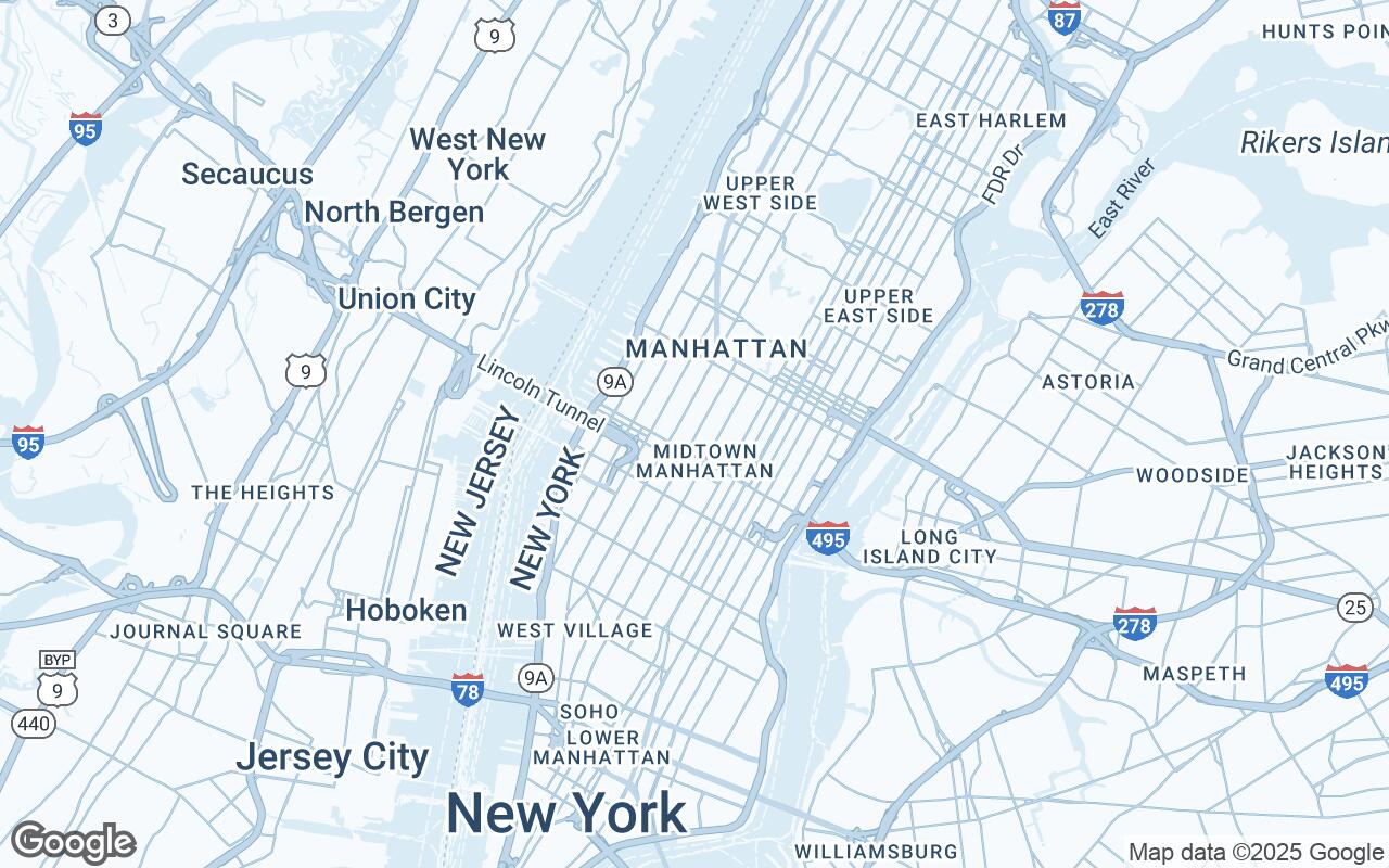
Show your site in its urban surroundings with a clean, architectural context map—ready for analysis boards and presentations.
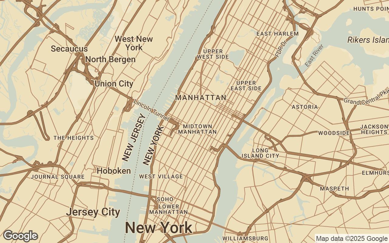
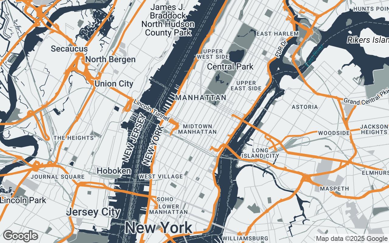
A good context map places your site within its neighborhood: the street network, built fabric, water, green space, and transit that shape the design response. Default web maps bury that story under commercial labels, icons, and colors chosen for navigation rather than presentation.
Styled Map lets you rebuild that image in minutes. Search the site, choose a template with an architectural palette, then strip the map down to the layers your analysis needs—keep the urban fabric and green space, drop the business pins and road shields.
Zoom out for a district-scale context view or in for the immediate blocks around your site, then export a PNG sized for a slide, a square social crop, or an A4/A3 board layout.
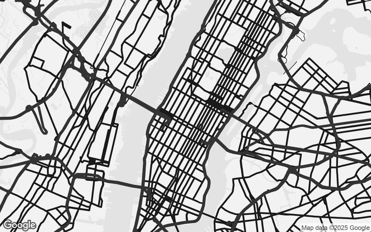
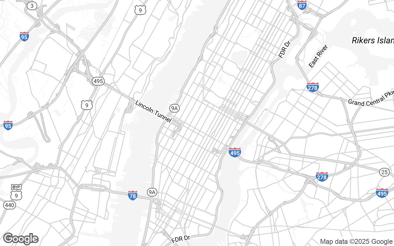
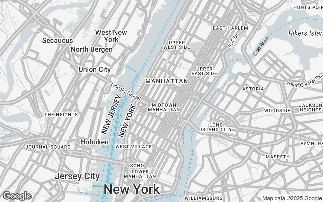
Start from a map template
Pick a template, adjust layers and density, then export a PNG.
Frequently asked questions
What is a context map in architecture?
A context map shows a project site within its wider surroundings—streets, buildings, landscape, water, and transport—so viewers understand the conditions the design responds to. It is a standard drawing in site analysis, competition entries, and student portfolios.
How do I create a context map for my site?
Open the Styled Map editor, search your site's address, pick a map template, set the zoom to frame the context you want, toggle layers like buildings, roads, water, and parks, and export the result as a PNG.
Can I control how much detail appears on the map?
Yes. A detail level control switches between simple, balanced, and detailed density, and individual layer toggles let you hide labels, points of interest, transit, and more for a cleaner analytical look.
What formats can I export?
PNG exports are available in 16:9 slide, square, A4 portrait, A3 landscape, and viewport-matched sizes, rendered at 2x scale so they stay sharp in decks and print layouts.
Is this free to use?
Yes. Searching locations, using templates, adjusting layers, and exporting PNG context maps are all free and require no account.