SpatialCanvas: Elevating Urban Cartography for Architectural & Interior Design Excellence
A bespoke Google Maps visual style engineered for precision, clarity, and contextual insight, empowering design professionals.
SpatialCanvas: Elevating Urban Cartography for Architectural & Interior Design Excellence
A bespoke Google Maps visual style engineered for precision, clarity, and contextual insight, empowering design professionals.
In the intricate world of architecture, interior design, and urban planning, every detail matters. From the initial site analysis to the final presentation, understanding the built environment and its surrounding context is paramount. Yet, for too long, design professionals have been forced to rely on generic mapping solutions that, while functional for general navigation, fall significantly short of the exacting demands of their craft. This is where SpatialCanvas emerges – a revolutionary Google Maps visual style meticulously crafted to transform how architects, urban planners, and interior designers perceive and interact with urban landscapes.
The Design Professional's Dilemma: Why Standard Maps Fall Short
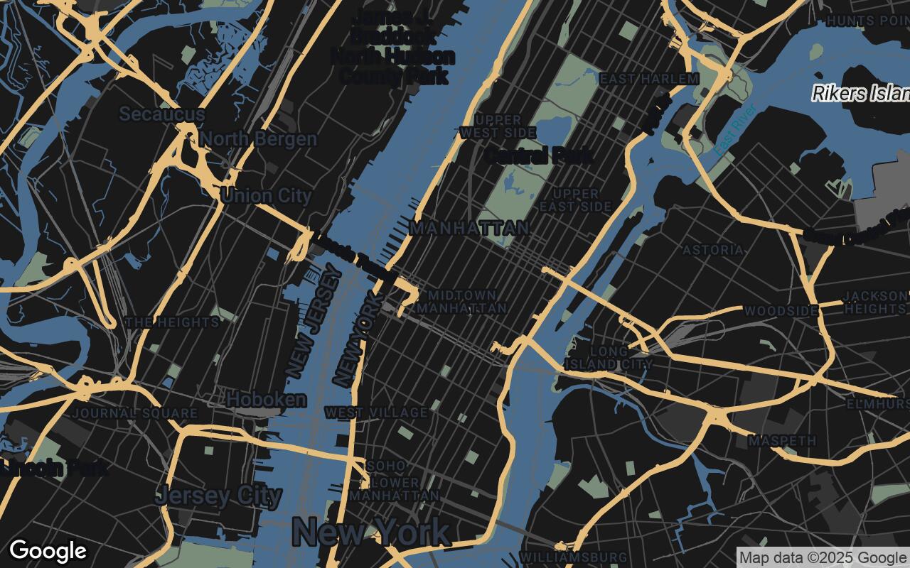
Standard Google Maps, with their vibrant colors, numerous points of interest (POIs), and general-purpose labeling, are excellent for finding a coffee shop or navigating traffic. However, for a design professional, this visual richness often translates into overwhelming clutter. Imagine trying to discern precise building footprints, analyze urban fabric, or understand subtle topographical shifts when the map is saturated with irrelevant business names, tourist attractions, and a cacophony of colors.
- Visual Noise: Too many non-essential labels and icons obscure critical architectural elements.
- Lack of Emphasis: Built structures and urban infrastructure often blend into the background, lacking the visual hierarchy needed for design analysis.
- Inadequate Contrast: Generic color palettes can make it difficult to differentiate between building types, green spaces, or water bodies with the precision required for professional work.
- Contextual Ambiguity: Subtle but vital environmental cues, like elevation changes or natural features, are often poorly represented or entirely absent.
This dilemma forces designers to spend valuable time filtering out irrelevant information or resorting to complex, often costly, GIS software for basic contextual understanding. The need for a mapping solution that speaks the language of design has never been clearer.
Introducing SpatialCanvas: A New Vision for Urban Context
SpatialCanvas is a sophisticated Google Maps visual style engineered to meet the exacting demands of design professionals. It transforms the standard map into a clean, information-rich canvas, highlighting critical architectural and urban planning elements while minimizing visual clutter. Designed for architects, urban planners, and interior designers, SpatialCanvas provides a Google Maps experience that prioritizes clarity, precision, and contextual understanding of the built environment, essential for project conceptualization and site analysis. This style facilitates precise site analysis, contextual design, and seamless integration into professional workflows, offering an intuitive and aesthetically refined mapping solution.
Core Design Principles: Precision, Hierarchy, and Aesthetic Professionalism
At the heart of SpatialCanvas lies a set of carefully considered design principles, each contributing to its unparalleled utility for design professionals:
- Clarity over Clutter: We prioritize essential information, stripping away distractions to present a clean, focused view of the urban environment. Irrelevant POIs are minimized, allowing the built form to take center stage.
- Hierarchical Precision: Built structures and urban fabric are emphasized with a clear visual hierarchy. Major buildings, roads, and infrastructure are distinctly rendered, allowing for immediate recognition of their scale and importance.
- Contextual Nuance: SpatialCanvas provides subtle cues for terrain, water bodies, and natural elements without distracting from the primary focus on the built environment. Gentle gradients and refined textures convey environmental context effectively.
- Aesthetic Professionalism: The style boasts a refined, modern look, suitable for high-level design presentations and professional documentation. Its clean lines and sophisticated typography elevate the visual quality of any project.
- Legibility at Scale: Whether zoomed out for a master plan overview or zoomed in for detailed site analysis, SpatialCanvas maintains exceptional readability and detail across all zoom levels.
- Functional Minimalism: Every element on the map serves a purpose, contributing to information density and utility rather than mere decoration. The focus is on what designers need to see.
- Grid-Aligned Harmony: An underlying sense of order and structure is promoted, reflecting the grid systems and organizational principles inherent in urban planning and architectural design.
The SpatialCanvas Palette: Colors that Communicate and Inspire
The visual language of SpatialCanvas is defined by a carefully curated color palette, designed not just for aesthetics, but for clear communication and intuitive understanding:
- Primary (#4A6C8C): A deep, professional blue-grey, this color is predominantly used for built structures and major infrastructure. It provides a strong, clear presence for buildings, ensuring they stand out as the primary focus.
- Secondary (#7A8C7A): A calming, earthy green-grey, this hue is applied to natural elements such as parks, green spaces, and water bodies. It offers a subtle yet distinct contrast, providing essential environmental context without overwhelming the urban fabric.
- Accent (#E0B36C): A warm, inviting gold, this accent color is reserved for highlighting specific points of interest, project boundaries, or critical data points that require immediate attention. It draws the eye precisely where needed.
- Neutrals (#1A1A1A, #333333, #666666, #999999): A sophisticated range of dark to light greys forms the backbone of the map, used for backgrounds, text, and less prominent features. These neutrals provide depth and readability, ensuring that the primary and secondary colors, along with the accent, truly pop without visual fatigue.
This palette works in harmony to create a map that is both visually appealing and highly functional, allowing designers to quickly interpret complex urban information.
Transforming Workflow: How SpatialCanvas Enhances Site Analysis and Conceptualization
SpatialCanvas isn't just a pretty map; it's a powerful tool designed to streamline and enhance critical stages of the design process:
Enhanced Site Analysis
- Precise Footprint Identification: Clearly delineate building footprints, property lines, and setbacks, crucial for zoning compliance and massing studies.
- Contextual Understanding: Gain immediate insight into surrounding building heights, materials (where discernible), and the overall urban fabric, informing design decisions that respect or respond to the existing environment.
- Access and Circulation: Easily identify vehicular access points, pedestrian pathways, and public transport nodes, vital for planning site logistics and user experience.
- Environmental Factors: Subtle representation of topography and natural features aids in understanding drainage, sun paths, and wind patterns.
Streamlined Conceptualization
- Rapid Prototyping: Overlay design concepts onto a clean, relevant map background, allowing for quick visualization and iteration of ideas in context.
- Client Presentations: Elevate project proposals with professional-grade maps that clearly communicate site context and design intent, fostering greater client understanding and buy-in.
- Seamless Integration: Designed to be easily integrated into various digital workflows, SpatialCanvas acts as a foundational layer for further design development in CAD, BIM, and rendering software.
Beyond Aesthetics: Practical Applications in Architecture and Interior Design
SpatialCanvas finds practical application across a spectrum of design disciplines:
For Architects
- Urban Infill Projects: Analyze existing density, adjacencies, and potential impacts of new structures.
- Master Planning: Visualize large-scale developments, infrastructure networks, and zoning districts with unparalleled clarity.
- Facade Design: Understand contextual views, material considerations, and how a building interacts with its immediate surroundings.
For Interior Designers
- Natural Light Analysis: Assess surrounding building heights and orientations to predict natural light ingress and optimize interior layouts.
- View Corridor Planning: Contextualize views from windows and balconies, informing furniture placement and spatial arrangements.
- Accessibility & Flow: Understand the broader urban context for entry points, public access, and how the interior connects to the exterior environment.
For Urban Planners
- Zoning and Land Use Analysis: Clearly distinguish different zones and land uses, facilitating policy development and compliance checks.
- Infrastructure Development: Plan and visualize new roads, utilities, and public transport routes with precision.
- Public Space Design: Understand pedestrian flows, green space integration, and community connectivity for effective public realm interventions.
Implementing SpatialCanvas: A Guide to Customizing Your Google Maps Experience
Integrating SpatialCanvas into your workflow is designed to be straightforward. Leveraging the power of the Google Maps Platform, this bespoke style can be applied to any map instance that utilizes the Maps JavaScript API or other Google Maps APIs. Professionals can easily customize their map experience by applying the SpatialCanvas JSON style definition through the Google Cloud Console's Maps Styling Wizard. This allows for seamless integration into web applications, custom dashboards, or even desktop tools that support Google Maps API implementations. A simple API key and the SpatialCanvas style JSON are all that's needed to unlock this enhanced mapping experience.
Case Studies: SpatialCanvas in Action
- The "Nexus Tower" Project (Architecture): A leading architectural firm utilized SpatialCanvas for a high-rise residential project in a dense urban core. The clear delineation of surrounding building heights and footprints allowed them to quickly identify potential shadow impacts and optimize the building's orientation for maximum natural light and views, significantly reducing design iteration time.
- "GreenLink Park" Initiative (Urban Planning): An urban planning department employed SpatialCanvas to visualize a new public park and green corridor. The distinct rendering of green spaces and pedestrian pathways, combined with the subtle representation of existing infrastructure, enabled them to seamlessly integrate the park into the urban fabric, enhancing connectivity and ecological benefits.
- "The Loft Collective" Fit-Out (Interior Design): An interior design studio working on a commercial co-working space leveraged SpatialCanvas to understand the building's immediate context. By clearly seeing adjacent structures and their heights, they could strategically plan window treatments, workstation layouts, and communal areas to maximize natural light and mitigate undesirable views, creating a more productive and pleasant environment.
The Future of Design Cartography: Evolution and Integration
SpatialCanvas represents more than just a new map style; it's a commitment to empowering design professionals with tools that truly meet their needs. As urban environments continue to evolve, so too will SpatialCanvas. We envision future enhancements that could include even richer 3D data integration, real-time data overlays for environmental factors, and deeper integration with leading design software. SpatialCanvas is a foundational step towards a future where design cartography is not merely a background element, but an active, intelligent partner in the creative process, pushing the boundaries of what's possible in architectural and interior design excellence. Explore SpatialCanvas today and transform your urban perspective.