Spatial Canvas: The Architect's New Perspective on Google Maps
Elevating Site Analysis and Design with a Bespoke Cartographic Style
Spatial Canvas: The Architect's New Perspective on Google Maps
Elevating Site Analysis and Design with a Bespoke Cartographic Style
In the intricate world of architecture, interior design, and urban planning, every detail matters. From the initial site analysis to the final client presentation, professionals meticulously craft spaces that are not only functional but also aesthetically compelling. Yet, for too long, a fundamental tool in their arsenal—the map—has remained largely generic, failing to meet the exacting demands of their creative process. Until now.
The Limitations of Standard Mapping for Design Professionals
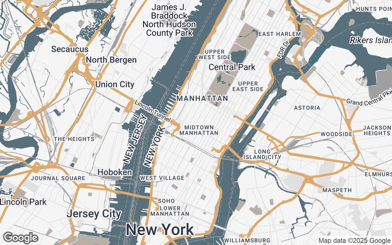
Standard mapping services, while excellent for navigation, often fall short when it comes to the nuanced requirements of design professionals. The typical Google Maps interface, with its vibrant colors, dense points of interest (POIs), and often overwhelming labels, presents several challenges:
- Visual Clutter: A profusion of commercial icons, traffic data, and recreational markers can obscure critical urban and environmental details essential for site analysis.
- Lack of Emphasis: Key architectural elements like building footprints, topographical contours, and public spaces are often de-emphasized or rendered without the precision needed for design work.
- Aesthetic Disconnect: The bright, consumer-oriented palette clashes with the sophisticated, often muted, aesthetics prevalent in architectural drawings and presentations.
- Inefficient Workflow: Designers frequently spend valuable time cleaning up screenshots or exporting data, only to re-style it in their own software, adding an unnecessary step to their workflow.
For the discerning architect and interior designer, these limitations are not minor inconveniences; they are barriers to efficient conceptualization and clear communication. They demand a tool that aids in site analysis, conceptualization, and client presentations, demanding precision, clarity, and an aesthetic that complements their design sensibilities.
Introducing Spatial Canvas: A Paradigm Shift in Cartography
We are thrilled to introduce Spatial Canvas, a bespoke Google Maps visual style crafted to meet the exacting demands of architectural and interior design professionals. Spatial Canvas transforms the standard map into a sophisticated, uncluttered canvas, emphasizing key urban and interior elements with a refined palette and precise geometry. This style supports site analysis, contextual understanding, and visual communication, enabling designers to integrate location data seamlessly into their creative workflow.
Spatial Canvas is not just a new skin for Google Maps; it's a re-imagining of cartography through the lens of design. It's about providing a foundational layer that resonates with the professional's need for clarity, precision, and an aesthetic that elevates their work.
Core Design Principles: Clarity, Precision, and Professionalism
The development of Spatial Canvas was guided by a set of core design principles, ensuring that every element serves the professional's needs:
- Clarity over Clutter: We prioritize essential information, minimizing visual noise to allow critical details to emerge effortlessly.
- Precision in Geometry: Urban and architectural elements are rendered with crisp, defined lines, reflecting the accuracy required in design documentation.
- Subtle Hierarchy: Color and line weight are meticulously used to create a clear visual hierarchy without distraction, guiding the eye to important features.
- Contextual Awareness: Spatial Canvas highlights relevant environmental and structural details critical for design, such as building massing, green spaces, and infrastructure.
- Professional Aesthetic: We employ a sophisticated, muted palette suitable for professional use and high-quality presentations, ensuring seamless integration into design documents.
- Scalability and Readability: The style maintains legibility and detail across various zoom levels, from broad urban planning views to detailed site plans.
- Design Integration: Spatial Canvas facilitates easy incorporation into design documentation and presentations, saving time and enhancing visual consistency.
Color Palette and Typography: Crafting the Aesthetic Experience
The aesthetic of Spatial Canvas is a deliberate choice, designed to be both understated and impactful. Our palette is carefully curated to support the design principles, creating a professional and harmonious visual experience:
- Primary (#4A4E69): A deep, sophisticated blue-gray forms the backbone, providing a strong yet subtle foundation for landmasses and major features.
- Secondary (#9B859D): A muted, slightly darker purple is used for secondary elements, offering gentle contrast and depth.
- Accent (#E0BBE4): A soft, elegant purple serves as a delicate accent, drawing attention to specific points or features without overwhelming the map.
- Neutrals (#F8F8F8, #E0E0E0, #A0A0A0, #606060): A range of light to dark grays provides versatility for roads, water bodies, and background elements, ensuring a clean, uncluttered appearance that allows your design to take center stage.
Complementing this palette, the typography chosen for Spatial Canvas is clean, legible, and professional. It ensures that labels are easily readable without competing with the underlying map data, maintaining the overall sophisticated aesthetic.
Feature Prioritization: What Architects Truly Need to See
Spatial Canvas intelligently prioritizes features based on their relevance to design professionals. This means:
- Emphasis on Built Environment: Building footprints are clearly defined, allowing for immediate understanding of massing and urban fabric.
- Clear Infrastructure: Roads, pathways, and public transport lines are rendered with precision, aiding in accessibility and circulation studies.
- Green Spaces and Water Bodies: Parks, gardens, and waterways are subtly highlighted, providing crucial environmental context.
- De-emphasis of Distractions: Commercial logos, excessive POIs, and bright, consumer-focused markers are minimized or removed, creating a clean slate for design exploration.
- Topographical Nuance: Where available, subtle contour lines or elevation changes are presented to aid in understanding site grading and drainage.
This intelligent prioritization ensures that designers see what they need to see, without the visual noise that often hinders effective site analysis.
Integrating Spatial Canvas into Your Workflow: Use Cases and Benefits
Spatial Canvas is designed to seamlessly integrate into various stages of the architectural and design workflow, offering tangible benefits:
Use Cases:
- Initial Site Analysis: Quickly grasp the urban context, identify adjacencies, understand sun paths, and analyze pedestrian flows.
- Conceptual Design: Use the clean base map as a canvas for sketching, overlaying initial design ideas, and exploring massing options.
- Urban Planning Studies: Gain a clear overview of city blocks, public spaces, and infrastructure for large-scale projects.
- Interior Design Context: Understand the immediate exterior environment of a building, influencing views, light, and material choices.
- Client Presentations: Present site information with unparalleled clarity and professionalism, enhancing the narrative of your design.
Benefits:
- Time Savings: Eliminate the need for extensive map cleanup and re-styling.
- Enhanced Accuracy: Work with precise, relevant geographical data.
- Improved Communication: Present complex site information clearly and aesthetically.
- Professional Deliverables: Elevate the visual quality of your reports, proposals, and presentations.
From Concept to Client: Enhancing Presentations with Bespoke Maps
In the competitive world of design, a compelling presentation can make all the difference. Spatial Canvas empowers architects and designers to tell a more impactful story. Imagine presenting a new development proposal where the site map isn't just a functional diagram, but an extension of your design aesthetic—clean, precise, and sophisticated. This bespoke style ensures that your maps integrate seamlessly into your design documentation, maintaining a consistent visual language from concept sketches to final renders. It allows clients to immediately grasp the context and vision, fostering a deeper understanding and appreciation for your work.
Future Enhancements: Expanding the Spatial Canvas Ecosystem
The journey of Spatial Canvas is just beginning. We envision a future where this style becomes an indispensable part of every designer's toolkit. Future enhancements may include:
- Customizable Layers: The ability to toggle on/off specific data layers, such as zoning information, historical maps, or sun path analysis overlays.
- CAD/BIM Integration: Deeper integration with leading design software for direct import and manipulation of Spatial Canvas data.
- 3D Contextual Models: Enhanced 3D capabilities to visualize building massing and urban context more comprehensively.
- User-Defined Annotations: Tools for adding custom notes, measurements, and design elements directly onto the map.
- Collaborative Features: Functionality to share and collaborate on maps with team members and clients in real-time.
We are committed to continuously evolving Spatial Canvas, ensuring it remains at the forefront of design-oriented mapping solutions.
Conclusion: The Future of Design-Oriented Mapping
Spatial Canvas represents more than just a new map style; it signifies a recognition of the unique needs of architects, interior designers, and urban planners. By providing a tool that prioritizes clarity, precision, and a professional aesthetic, we are empowering these professionals to elevate their site analysis, streamline their design process, and enhance their client presentations. The future of design-oriented mapping is here, and it's a canvas ready for your next masterpiece. Explore Spatial Canvas and transform your perspective on the world around you.