Designing with Maps: The Spatial Blueprint for Architects
Transforming Google Maps into an Essential Tool for Architectural and Interior Design
Designing with Maps: The Spatial Blueprint for Architects
Transforming Google Maps into an Essential Tool for Architectural and Interior Design
For architects, interior designers, and urban planners, the canvas of design extends far beyond the drawing board. It encompasses the intricate tapestry of urban landscapes, the subtle nuances of a site's context, and the dynamic interplay of built and natural environments. Yet, for too long, the very tools meant to help us understand these spaces—digital maps—have fallen short, offering a visual cacophony rather than a clear, actionable blueprint.
Standard mapping services, while excellent for navigation, often present an overwhelming array of information, vibrant colors, and distracting labels that obscure the critical data needed for professional design work. This visual clutter forces designers to spend valuable time filtering, interpreting, and often recreating map data, rather than focusing on the creative process. The need for a specialized, design-centric mapping solution has never been more apparent.
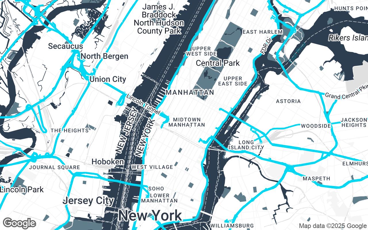
Introducing Spatial Blueprint, a revolutionary new Google Maps style meticulously crafted for the discerning professional. This isn't just another map; it's a foundational canvas, an indispensable tool designed to elevate your architectural and interior design workflow from conceptualization to client presentation.
Understanding the 'Spatial Blueprint' Philosophy
The 'Spatial Blueprint' style is born from a deep understanding of the design professional's needs. Our persona—a discerning architect, interior designer, or urban planner—values precision, aesthetic clarity, and contextual understanding above all else. This professional requires a map that functions simultaneously as a technical tool for rigorous analysis and an inspirational canvas for groundbreaking design.
Our brief for 'Spatial Blueprint' was clear: transform Google Maps into an indispensable tool that emphasizes clean lines, clear spatial relationships, and a refined aesthetic. We aimed to strip away visual clutter, highlighting only the essential structural and environmental data. The result is a style that provides a foundational canvas for design conceptualization, site analysis, and client presentations, ensuring that every detail contributes to a professional and insightful user experience. It’s about seeing the world not just as it is, but as it could be, through a lens of clarity and purpose.
Key Design Principles: Clarity, Hierarchy, and Aesthetic Neutrality
Every element of the 'Spatial Blueprint' style has been meticulously considered and aligned with core design principles vital to the architectural and design community:
- Clarity over Clutter: We prioritize essential information, minimizing distractions. This means fewer, more relevant labels and a streamlined visual language that allows key features to stand out.
- Hierarchical Readability: The style ensures easy distinction between primary, secondary, and tertiary elements. Major roads, building footprints, and natural features are immediately discernible, while less critical details recede gracefully into the background.
- Aesthetic Neutrality: 'Spatial Blueprint' provides a sophisticated, understated background that complements your design work, rather than competing with it. It's a clean slate, ready for your creative overlay.
- Contextual Awareness: The style highlights building footprints, natural features, and infrastructure with precision, offering an immediate and accurate understanding of the site's surroundings.
- Scalability & Detail: Visual integrity and detail are maintained across various zoom levels, from a broad urban overview to a detailed site plan, ensuring consistent utility.
- Professional Utility: Designed specifically for practical application in design workflows, enhancing efficiency and accuracy.
- Subtle Sophistication: A refined color palette and carefully chosen typography contribute to an overall sense of professionalism and elegance.
Deconstructing the Palette: Colors that Communicate Professionalism
Color plays a crucial role in conveying information and setting a mood. The 'Spatial Blueprint' palette is a deliberate choice, reflecting the principles of clarity and aesthetic neutrality:
- Primary (
#2C3E50) and Secondary (#607D8B): These deep, muted blues and grays form the backbone of the map, providing a stable, professional foundation. They evoke the precision of a technical drawing and the calm of a well-designed space. - Neutrals (
#FFFFFF,#F5F5F5,#E0E0E0,#BDBDBD,#757575): A spectrum of whites and grays ensures that land, water, and less critical features are rendered with subtle differentiation, preventing visual fatigue and allowing your design elements to pop. These neutrals are the essence of aesthetic neutrality, providing a clean, unobtrusive background. - Accent (
#00BCD4): A vibrant yet professional cyan is used sparingly to highlight key features or points of interest that require immediate attention. This accent color provides a touch of modern sophistication without overwhelming the overall composition.
This carefully curated palette ensures that the map is not just informative, but also a pleasure to work with, aligning perfectly with the high standards of architectural and interior design.
Implementing the Style: A Step-by-Step Guide to Google Styled Maps
Integrating the 'Spatial Blueprint' style into your workflow is designed to be straightforward. Google Maps Platform offers robust tools for applying custom styles, allowing you to transform your maps with ease. While the specifics might involve using the Google Cloud Console to create a new map style or integrating it via the Maps JavaScript API for web applications, the underlying principle is simple: select the 'Spatial Blueprint' style, and instantly elevate your mapping experience.
This process empowers you to:
- Apply the style to existing projects: Seamlessly update your current map visualizations.
- Customize further (if needed): While 'Spatial Blueprint' is optimized, the platform allows for minor tweaks to perfectly match your brand or project specifics.
- Ensure consistency: Maintain a uniform, professional look across all your mapping needs.
Beyond Navigation: Using Maps for Site Analysis and Contextual Design
'Spatial Blueprint' transcends mere navigation. It becomes an indispensable partner in the critical phases of site analysis and contextual design:
- Site Analysis: Quickly identify and analyze crucial site elements such as existing building footprints, property lines, natural features like waterways and green spaces, and infrastructure. Understand sun paths, prevailing wind directions, and topographical nuances (where data is available) to inform sustainable design choices.
- Contextual Design: Gain a deeper understanding of the urban fabric surrounding your project. Analyze street patterns, public spaces, and the scale and massing of adjacent buildings. This insight is vital for creating designs that are not only functional but also harmoniously integrated into their environment.
- Zoning and Regulations: Overlay local zoning information or regulatory boundaries to ensure compliance from the earliest stages of design.
Enhancing Client Presentations with Refined Map Visuals
First impressions matter, and professional presentations are paramount. 'Spatial Blueprint' elevates your client interactions by providing map visuals that are:
- Visually Stunning: The clean, sophisticated aesthetic immediately conveys professionalism and attention to detail.
- Clearly Communicative: Essential information is highlighted, allowing clients to quickly grasp the site's context and your design's relationship to it.
- Credibility-Building: Presenting maps that look like they belong in an architectural portfolio reinforces your expertise and meticulous approach.
- Engaging: The uncluttered design allows for easier discussion and annotation during presentations, fostering better client engagement and understanding.
Future Integrations: CAD, BIM, and Augmented Reality Overlays
The 'Spatial Blueprint' style is not just a static visual; it's a dynamic foundation for the future of design technology. Imagine a world where this refined map style serves as the base layer for:
- CAD and BIM Overlays: Seamlessly integrate your CAD drawings or BIM models directly onto the 'Spatial Blueprint' map, providing a real-world context for your detailed designs.
- Augmented Reality (AR) Overlays: Envision walking a site with an AR device, seeing your proposed building or interior layout precisely aligned with the 'Spatial Blueprint' map, offering an immersive and accurate preview.
- Data Visualization: Overlay real-time data such as traffic flow, pedestrian movement, or environmental sensors, transforming the map into a living, breathing analytical tool.
Conclusion: The Future of Design-Centric Cartography
The 'Spatial Blueprint' style marks a significant leap forward in design-centric cartography. By offering a Google Maps experience tailored specifically for architects, interior designers, and urban planners, we are not just providing a tool; we are empowering a new way of seeing, analyzing, and designing the built environment.
This style is more than just a visual upgrade; it's a commitment to precision, clarity, and aesthetic excellence that mirrors the very values of the design profession. Embrace 'Spatial Blueprint' and transform your Google Maps into the essential spatial blueprint for your next masterpiece. The future of design is here, and it's clearer than ever.