Urban Canvas: Redefining Google Maps for the Design Professional
A New Visual Language for Architects and Interior Designers to Inspire and Inform
Urban Canvas: Redefining Google Maps for the Design Professional
A New Visual Language for Architects and Interior Designers to Inspire and Inform
The Critical Need for a Designer-Centric Map Interface
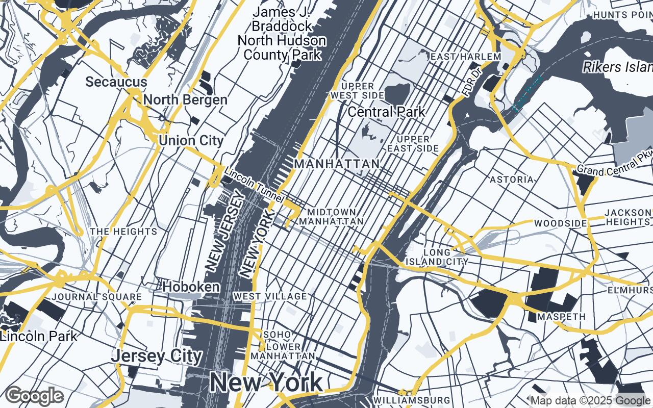
For architects, interior designers, and urban planners, the map is more than just a tool for navigation; it's a foundational canvas, a critical source of context, and often the very starting point for creative conceptualization. Yet, for too long, design professionals have had to contend with generic mapping interfaces – tools built for the everyday commuter, not the discerning eye of a spatial artist. Standard Google Maps, while undeniably powerful for wayfinding, often presents a cacophony of visual information: vibrant tourist attractions, bustling traffic indicators, and a default aesthetic that, while functional, can distract from the nuanced details essential for design work. This visual clutter can obscure critical site information, complicate client presentations, and ultimately hinder the precise, aesthetically driven analysis that defines professional design practice.
Enter Urban Canvas, a revolutionary new Google Maps style meticulously crafted to meet the exacting demands of the design community. Urban Canvas strips away the superfluous, refines the essential, and presents a sophisticated, minimalist base layer that transforms Google Maps into an indispensable design asset. It's not just a map; it's a design tool, a source of inspiration, and a clear, precise foundation for every project.
Beyond Navigation: Exploring How Google Maps Serves Design Professionals
Even in its generic form, Google Maps has proven invaluable to design professionals. It's used for:
- Initial Site Analysis: Understanding a project's immediate surroundings, topography, and existing infrastructure.
- Contextual Research: Identifying adjacent buildings, green spaces, and urban fabric that influence design decisions.
- Client Presentations: Providing a geographic overview of a project's location and its relationship to key landmarks.
- Logistical Planning: Assessing accessibility, sun paths, and pedestrian flows.
However, these applications have always been a compromise. Designers often resort to overlaying their own sketches or digitally manipulating screenshots to achieve the clarity and aesthetic required. Urban Canvas eliminates this extra step, offering a natively refined experience that elevates these critical tasks from mere utility to an integral part of the design process.
The Core Principles of Urban Canvas: Clarity, Precision, and Aesthetic Harmony
Urban Canvas isn't just a new color scheme; it's a philosophy of cartographic design rooted in the specific needs of architects and interior designers. Its development was guided by a set of core principles:
- Clarity over Clutter: The paramount goal is to minimize unnecessary visual noise, allowing design professionals to focus on essential structural and spatial information without distraction.
- Architectural Focus: The style emphasizes building footprints, infrastructure networks, and the intricate relationship between built and unbuilt spaces, rendering them with distinct precision.
- Subtle Sophistication: Urban Canvas utilizes a refined color palette and carefully selected typography that exudes professionalism and elegance, serving as a sophisticated backdrop for design work.
- Scalable Detail: From a macro urban planning perspective to micro site details, the style ensures legibility and appropriate information density across all zoom levels.
- Print-Ready Aesthetic: Recognizing the importance of physical deliverables, Urban Canvas is designed to look equally compelling and functional in both digital and high-fidelity printed formats.
- Contextual Awareness: It provides just enough geographic and urban detail to inform thorough site analysis without overwhelming the user with irrelevant data.
- Harmonious Palette: The chosen colors are designed to complement design work, acting as a supportive element rather than a competing visual force.
Deconstructing the Map: Focused Rendering of Buildings, Infrastructure, and Green Spaces
Urban Canvas meticulously re-renders key map elements to align with design priorities. Building footprints are presented with crisp, clean lines, allowing for immediate recognition of massing and density. Roads and pathways are simplified, their hierarchy clearly defined without the visual dominance of traffic data. Green spaces, from expansive parks to intimate courtyards, are rendered with a subtle, natural hue that clearly delineates permeable surfaces and natural elements. Water bodies are depicted with a serene, understated blue, reflecting their role as integral landscape features. This focused rendering ensures that the spatial relationships, the very essence of architectural and urban design, are immediately apparent and easily interpretable.
The Urban Canvas Palette: A Thoughtful Selection of Colors that Communicate, Not Distract
The visual language of Urban Canvas is defined by its carefully curated color palette, designed to be both informative and aesthetically pleasing. The palette is built upon a foundation of sophisticated neutrals, allowing the built environment to take center stage.
- Primary (
#4A5568): A deep, professional charcoal gray forms the backbone, providing a strong yet understated presence for primary map elements and text. - Secondary (
#E2E8F0): A light, cool gray serves as a gentle background, offering contrast and visual breathing room without being stark. - Neutrals (
#F7FAFC,#2D3748,#A0AEC0,#718096): A range of light to dark grays and off-whites provide depth and differentiation for various land uses, building types, and subtle topographical variations, ensuring clarity without resorting to bright, distracting hues. - Accent (
#ECC94B): A warm, inviting gold is used sparingly for key points of interest or highlighted features, drawing the eye without overwhelming the overall composition. This accent color provides a touch of sophistication and can be used to emphasize specific project sites or critical data points.
This harmonious selection ensures that the map serves as a neutral yet inspiring backdrop, allowing designers' own work to stand out, whether it's a conceptual sketch or a detailed site plan.
Typography and Labeling: Ensuring Legibility, Hierarchy, and Professionalism in Map Annotations
Beyond colors, the legibility and aesthetic of text on a map are paramount. Urban Canvas employs a clean, modern sans-serif typeface that ensures optimal readability across all zoom levels. The labeling system is designed with a clear hierarchy:
- Major urban centers and significant landmarks are given appropriate prominence.
- Street names and local points of interest are rendered clearly but without visual dominance.
- Text is strategically placed to avoid obscuring important map features.
This thoughtful approach to typography and labeling maintains a professional aesthetic, ensuring that all annotations are informative, easy to read, and seamlessly integrated into the overall design.
Practical Applications: Leveraging Urban Canvas for Site Analysis, Client Presentations, and Conceptual Design
The practical benefits of Urban Canvas are extensive and immediately impactful for design professionals:
- Enhanced Site Analysis: Quickly identify building heights, property lines (where available), and the relationship between a proposed structure and its neighbors. Understand pedestrian flows and vehicular access with greater clarity.
- Compelling Client Presentations: Present project locations and contextual information with a polished, professional aesthetic that reflects the quality of your design work. The clean style allows your project to be the focal point, not the map's default colors.
- Streamlined Conceptual Design: Use Urban Canvas as a pristine base layer for sketching, diagramming, and overlaying early design concepts. The reduced visual noise provides a clearer foundation for creative exploration.
- Urban Planning Visualizations: Visualize master plans, zoning changes, and infrastructure projects against a backdrop that emphasizes spatial relationships and urban fabric.
- Educational Tools: Ideal for academic settings, providing students with a clear, uncluttered map for urban studies and architectural analysis.
Integrating Urban Canvas: A Step-by-Step Guide to Implementing the Style in Google Maps
Integrating Urban Canvas into your workflow is designed to be straightforward. For developers and those utilizing the Google Maps Platform APIs, Urban Canvas is available as a pre-configured custom style. This allows for seamless application to web and mobile applications that leverage Google Maps data. For individual users, the style can be easily selected and applied within supported Google Maps interfaces that allow for custom map styling, transforming your view with just a few clicks. Detailed documentation and integration guides will be provided to ensure a smooth transition to this enhanced mapping experience.
The Future of Design Mapping: Expanding the Toolkit for Creative Urban Exploration
Urban Canvas is just the beginning. We envision a future where mapping tools are not just data repositories but dynamic, intelligent platforms that actively support and inspire the design process. Future iterations and expansions of Urban Canvas could include:
- Layered Data Overlays: The ability to easily toggle on and off specific data layers relevant to design, such as zoning information, historical building footprints, or environmental data.
- 3D Contextual Models: Enhanced integration with 3D building models for a more immersive site analysis experience.
- Custom Annotation Tools: Built-in features for designers to add their own notes, sketches, and measurements directly onto the map.
- Integration with Design Software: Seamless links to popular CAD and BIM platforms for a truly integrated workflow.
We are committed to continuously evolving Urban Canvas, expanding its toolkit to empower even more creative urban exploration and informed decision-making.
Conclusion: Empowering Creativity and Informed Decision-Making with Intelligent Cartography
Urban Canvas represents a significant leap forward for design professionals. By offering a Google Maps style specifically tailored to their unique needs, we are not just changing how maps look; we are changing how designers interact with the urban environment. We are providing a tool that fosters clarity, precision, and aesthetic harmony, allowing architects, interior designers, and urban planners to focus on what they do best: creating inspiring, functional, and beautiful spaces. Embrace Urban Canvas and transform your digital canvas into a truly intelligent cartographic partner, empowering your creativity and informing every design decision with unparalleled clarity.