Urban Canvas: Redefining Google Maps for Architectural & Interior Design Excellence
A Professional Visual Style That Transforms Spatial Data into Design Inspiration
Urban Canvas: Redefining Google Maps for Architectural & Interior Design Excellence
A Professional Visual Style That Transforms Spatial Data into Design Inspiration
For architects, interior designers, and urban planners, the foundation of every groundbreaking project begins with a deep understanding of its spatial context. Yet, the ubiquitous mapping tools available today, while incredibly powerful for general navigation, often fall short of the nuanced requirements of design professionals. Standard Google Maps, with its vibrant array of points of interest, traffic overlays, and consumer-centric details, can quickly become a visual cacophony, obscuring the very structural and urban fabric information critical for precise site analysis and conceptual development.
This gap—between a wealth of spatial data and its effective, design-centric presentation—has long been a challenge. Designers spend invaluable time sifting through visual noise, attempting to extract the core information needed to inform their creative process. What if there was a mapping style specifically engineered to speak the language of design, offering clarity, precision, and an aesthetic that complements, rather than competes with, your vision?
Introducing Urban Canvas: A Vision for Precision and Aesthetics
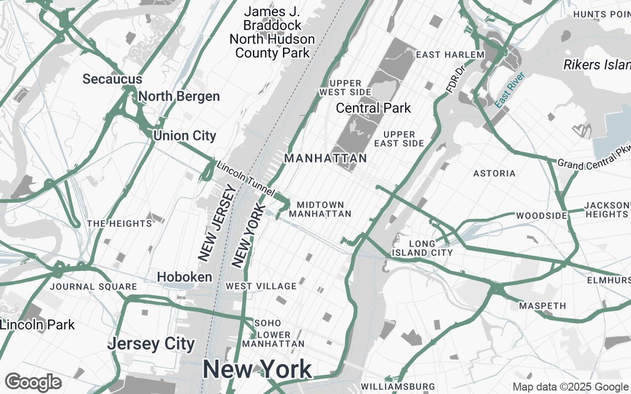
Enter Urban Canvas, a refined Google Maps visual style meticulously crafted for the discerning eyes of architects and interior designers. Urban Canvas is not just another map; it's a sophisticated lens through which spatial data is transformed into design inspiration. It prioritizes clarity, legibility, and a sophisticated aesthetic, stripping away visual noise to highlight essential spatial data. This style facilitates detailed site analysis, context understanding, and seamless integration into professional design workflows, providing a clean, neutral foundation for creative exploration and precise planning.
Designed for architects and interior designers who require precise, uncluttered spatial information for site analysis, project planning, and client presentations, Urban Canvas focuses intently on structural context and urban fabric, rather than overwhelming detail. It's the clean slate you've been waiting for, allowing your designs to take center stage.
Core Principles: Clarity, Neutrality, and Context in Spatial Design
Urban Canvas is built upon a set of foundational design principles that ensure every pixel serves a purpose, enhancing your ability to understand and interpret spatial information:
- Clarity over Clutter: We emphasize essential information, suppressing distractions like excessive points of interest or overly bright color schemes that detract from the core spatial data.
- Architectural Neutrality: Urban Canvas provides a clean, unbiased base for design overlays. Its subdued palette ensures that your project's colors and forms stand out, rather than clashing with the map itself.
- Hierarchy of Information: Data points are carefully differentiated, ensuring that primary elements (e.g., major roads, building footprints) are immediately recognizable, while secondary and tertiary details provide context without demanding undue attention.
- Subtle Sophistication: Utilizing a refined color palette and carefully selected typography, Urban Canvas exudes a professional feel, suitable for high-stakes presentations and detailed analysis.
- Contextual Awareness: The style highlights urban fabric and the built environment with precision, allowing you to grasp the surrounding context without being visually overpowered.
- Scalability & Precision: Whether zoomed out for urban planning or in for detailed site analysis, legibility and accuracy are maintained across all zoom levels.
- Print-Ready Aesthetic: Designed to look exceptional in both digital displays and high-quality printed formats, ensuring consistency across all your professional outputs.
The Urban Canvas Palette: A Foundation for Design and Presentation
The visual language of Urban Canvas is defined by a carefully curated palette, designed to be both informative and aesthetically pleasing:
- Primary Base (
#D8D8D8): A light, unobtrusive grey forms the primary background, providing a calm and neutral canvas for all other elements. - Secondary Elements (
#A0A0A0): A slightly darker grey is used for secondary features like minor roads and less prominent building details, creating subtle depth and hierarchy. - Neutrals (
#F8F8F8,#E8E8E8,#C2D1D7,#CFCFCF,#4A4A4A): A range of soft greys and a cool blue-grey are employed for various background elements, water bodies, and text, ensuring legibility and a harmonious overall appearance. The darker neutral (#4A4A4A) is reserved for critical text labels, ensuring high contrast and readability. - Accent (
#5F8575): A sophisticated, muted teal serves as the accent color, strategically used to highlight key features or specific data points when needed, drawing the eye without being garish.
This palette ensures that the map remains a supportive tool, never a distracting element, allowing your design work to shine.
Key Features: What Makes This Style Indispensable for Professionals
Urban Canvas integrates several key features that make it an indispensable tool for architects and designers:
- De-cluttered Interface: Significantly reduced points of interest (POIs) and promotional overlays, focusing purely on spatial and structural information.
- Enhanced Building Footprints: Clear, defined building outlines and massing, providing an immediate understanding of the built environment's scale and density.
- Refined Street Networks: A subtle yet clear hierarchy of roads, from major arteries to pedestrian pathways, aiding in circulation analysis and access planning.
- Subtle Topographical Cues: Gentle shading or contour indications (where available) to provide a better sense of terrain without overwhelming the map.
- Optimized Typography: Carefully chosen fonts and sizing for labels, ensuring maximum legibility at all zoom levels, even in print.
- Emphasis on Green Spaces and Water Bodies: Parks, plazas, and waterways are rendered with a clean, distinct style, crucial for understanding environmental context and potential amenities.
Enhancing Workflow: From Site Analysis to Client Presentations with Urban Canvas
Urban Canvas seamlessly integrates into every stage of your design workflow, offering tangible benefits:
Site Analysis & Conceptualization
- Rapid Context Grasp: Quickly understand the surrounding urban fabric, building heights, and street patterns without visual distractions.
- Precise Measurement & Orientation: The clean base allows for easier identification of property lines, sun paths, and prevailing winds, crucial for sustainable design.
- Overlay Ready: The neutral background is ideal for overlaying your conceptual sketches, massing studies, or zoning diagrams, providing immediate visual feedback.
Project Planning & Documentation
- Clear Reference: Use Urban Canvas as a reliable base map for developing detailed site plans, landscape designs, and access strategies.
- Consistency: Maintain a consistent, professional aesthetic across all your project documentation, from early feasibility studies to final construction documents.
Client Presentations & Stakeholder Engagement
- Professional Visuals: Present your projects with a sophisticated, uncluttered map background that elevates the perceived value of your work.
- Focused Discussion: Guide clients and stakeholders through the project's context without the distraction of irrelevant map details, keeping the focus on your design solutions.
Customization and Integration: Beyond the Default, Tailoring for Specific Projects
While Urban Canvas offers a powerful default, its true strength lies in its potential for customization and integration. Firms can leverage the underlying Google Maps Platform to further tailor the style, perhaps highlighting specific zoning districts, historical landmarks, or public transport routes relevant to a particular project. Through API integration, developers can build bespoke applications that dynamically overlay project-specific data onto the Urban Canvas base, creating a truly personalized and powerful spatial analysis tool.
Case Studies: Urban Canvas in Action (Hypothetical Examples)
Urban Infill Development: The Architect's Edge
An architectural firm is tasked with designing a mixed-use infill project in a dense urban core. Using Urban Canvas, the team quickly identifies adjacent building heights, pedestrian flow patterns, and critical setbacks. The de-cluttered map allows them to accurately sketch massing options directly onto the digital map, understanding solar access and view corridors without the visual noise of nearby restaurants or shops. The clean aesthetic makes it easy to present these early concepts to the city planning department, focusing on the architectural response to the site.
Boutique Hotel Renovation: The Interior Designer's Context
An interior design studio is redesigning a historic boutique hotel. While their focus is internal, understanding the building's immediate context is vital for material selection, branding, and guest experience. Urban Canvas provides a clear view of the surrounding streetscape, nearby parks, and the architectural character of adjacent buildings. This allows the designers to draw inspiration from the locale and present a cohesive narrative to the client, demonstrating how the interior design harmonizes with the exterior environment.
Public Plaza Revitalization: The Urban Planner's Vision
An urban planning agency is proposing a new public plaza. Urban Canvas helps them visualize existing pedestrian desire lines, identify key access points, and understand the relationship between the proposed plaza and surrounding civic buildings. The neutral palette ensures that their proposed landscape elements and seating arrangements are clearly visible, facilitating community engagement and stakeholder feedback sessions with a professional, easy-to-read base map.
Future Developments: Expanding the Designer's Toolkit for Spatial Understanding
The journey of Urban Canvas is just beginning. We envision future enhancements that will further empower design professionals:
- Advanced 3D Context: Integration of more sophisticated 3D building models and terrain data for even richer spatial understanding.
- Dynamic Data Overlays: Tools to easily overlay project-specific data such as zoning regulations, demographic information, or environmental impact data.
- Collaborative Features: Enhanced capabilities for teams to annotate and share maps, fostering real-time collaboration on spatial analysis.
Conclusion: Elevating Spatial Understanding for Creative Professionals
Urban Canvas represents a significant step forward in providing design professionals with the mapping tools they truly need. By prioritizing clarity, precision, and a sophisticated aesthetic, it transforms Google Maps from a general navigation aid into an indispensable instrument for site analysis, project planning, and client presentations. It's more than just a map style; it's a foundation for innovation, a canvas for your urban and interior visions. Embrace Urban Canvas and redefine how you see, understand, and design the world around us.