Spatial Insight Maps: Elevating Google Maps for Architectural Design
A Professional Visual Style for Architects and Interior Designers, Prioritizing Clarity, Precision, and Aesthetic Harmony.
Spatial Insight Maps: Elevating Google Maps for Architectural Design
A Professional Visual Style for Architects and Interior Designers, Prioritizing Clarity, Precision, and Aesthetic Harmony.
For practicing architects, interior designers, and urban planners, the map is more than just a navigational tool; it's a foundational canvas for understanding context, analyzing sites, and conceptualizing design. Yet, standard mapping interfaces, designed for general navigation, often fall short of the nuanced requirements of design professionals. They are cluttered with irrelevant points of interest, vibrant colors that distract, and visual hierarchies that obscure essential spatial relationships.
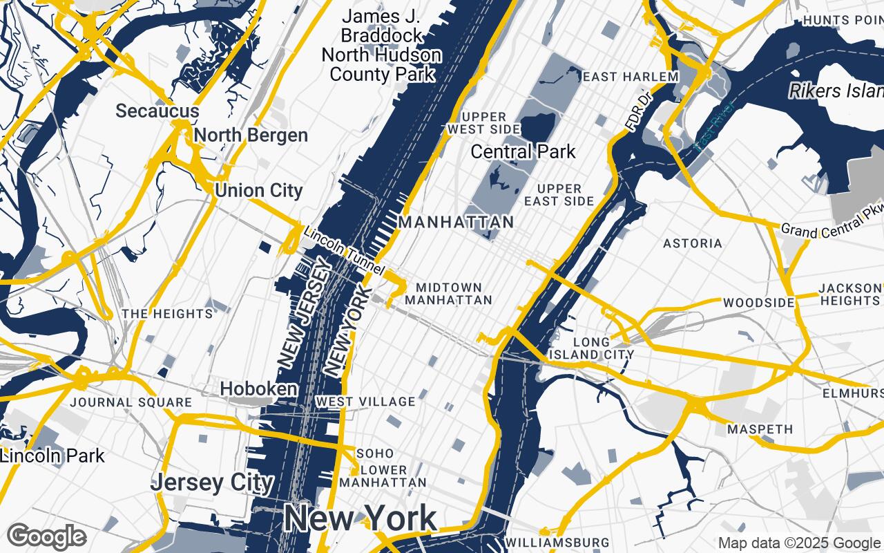
Enter Spatial Insight Maps, a revolutionary new professional visual style for Google Maps, meticulously crafted for discerning architects and interior designers. It reimagines the familiar map interface as an indispensable tool for design professionals, prioritizing clarity and precision above all else. By stripping away visual clutter, Spatial Insight Maps highlights essential urban and environmental data, offering a refined, minimalist aesthetic designed to seamlessly integrate into architectural workflows and presentations. It provides a sophisticated canvas for spatial analysis and design ideation, transforming how you interact with the built environment.
Core Principles of Spatial Insight Maps: Clarity, Precision, and Aesthetics
Spatial Insight Maps is built upon a set of core design principles that directly address the needs of the architectural and design community:
- Clarity over Clutter: Essential information takes precedence. We've meticulously filtered out distractions, ensuring that only the most relevant data for design analysis is prominently displayed.
- Subtle Sophistication: The aesthetic is one of professional, understated elegance. This style is designed to complement, not compete with, your design visuals.
- Contextual Harmony: Maps should blend seamlessly with your design visuals, providing a cohesive backdrop for your projects, whether in digital mock-ups or printed presentations.
- Hierarchical Precision: A clear visual hierarchy ensures that spatial elements – from major thoroughfares to individual building footprints – are easily distinguishable and interpretable at a glance.
- Scalable Detail: The style maintains legibility and relevance across all zoom levels, from a broad urban overview to a detailed site plan.
- Print-Ready Aesthetic: Optimized for both digital display and high-quality print, ensuring your maps look as good on paper as they do on screen.
- Intuitive Readability: Every design choice contributes to an interface that is easy to interpret, allowing for quick and accurate spatial understanding.
Visual Hierarchy: Distinguishing Essential Urban Elements
One of the most significant advancements of Spatial Insight Maps lies in its intelligent visual hierarchy. Traditional maps often treat all information equally, leading to visual noise. Our style, however, is engineered to guide the eye, emphasizing elements critical to architectural and urban design:
- Building Footprints: Clearly defined and subtly shaded, building outlines become prominent, allowing for immediate understanding of urban density and massing.
- Road Networks: Roads are rendered with a clear distinction between major arteries and local streets, using a refined palette that indicates hierarchy without overwhelming the view.
- Green Spaces and Water Bodies: Parks, plazas, and waterways are given a calming, distinct visual treatment, highlighting their role in urban planning and environmental context.
- Topography and Contours: Where available, subtle contour lines and elevation changes are rendered to provide crucial insights into site challenges and opportunities.
- Points of Interest (POIs): Non-essential POIs are minimized or removed entirely, ensuring that the focus remains on the spatial fabric rather than commercial distractions.
This deliberate prioritization ensures that architects and designers can quickly grasp the essence of a site, identifying key relationships and potential design interventions with unparalleled ease.
Color Palette and Typography: A Refined Approach to Map Readability
The aesthetic foundation of Spatial Insight Maps is its carefully curated color palette and typography, designed for maximum readability and professional appeal. The palette is a departure from the vibrant, often overwhelming colors of standard maps, opting instead for a sophisticated, muted scheme:
- Neutrals: A range of subtle grays (
#F8F8F8,#E0E0E0,#B0B0B0,#606060,#333333) forms the backbone of the map, providing a calm, unobtrusive background that allows key information to stand out. These shades are strategically applied to land, roads, and building masses. - Primary Accent: A deep, professional blue (
#1A345B) is used sparingly for primary roads or significant water features, offering a grounding element. - Secondary Accent: A softer, complementary blue-gray (
#8C9CAE) provides subtle differentiation for secondary roads or less prominent water bodies. - Highlight Accent: A warm, inviting gold (
#D4A800) is reserved for specific highlights, such as selected building outlines, property lines, or custom overlays, drawing the eye to critical design elements without being garish.
This palette ensures high contrast where needed for legibility, while maintaining an overall sense of calm and professionalism. Typography is equally considered, utilizing clean, modern sans-serif fonts that are highly legible at all scales, ensuring that labels and annotations are clear and unobtrusive.
Application in Architectural Workflow: From Site Analysis to Client Presentation
Spatial Insight Maps is not just a pretty face; it's a powerful functional tool designed to integrate seamlessly into every stage of your architectural and design workflow:
- Initial Site Analysis: Quickly identify site boundaries, surrounding building heights, sun paths, and prevailing winds. Understand the urban grain and pedestrian flows.
- Contextual Studies: Analyze the relationship between your proposed design and its immediate surroundings, identifying opportunities for integration or strategic interventions.
- Zoning and Regulations: Overlay zoning information or setback requirements onto a clean, uncluttered map for precise compliance checks.
- Conceptual Design: Use the map as a base layer for sketching, ideation, and massing studies, allowing for a direct visual connection between concept and context.
- Client Presentations: Present site information and design proposals with unparalleled clarity and aesthetic appeal. The professional look of Spatial Insight Maps elevates your presentations, making complex spatial data easily digestible for clients.
- Design Iterations: Rapidly test and visualize different design options against the real-world context, streamlining the iterative design process.
Beyond Navigation: Using Maps as a Design Tool
For too long, maps have been viewed primarily as navigational aids. Spatial Insight Maps fundamentally shifts this paradigm, positioning the map as an active design tool. It encourages designers to:
- Understand Spatial Relationships: Gain a deeper understanding of how different urban elements interact – how a building relates to a street, a park to a neighborhood, or a site to its broader urban fabric.
- Identify Opportunities and Constraints: The clarity of the map allows for quick identification of potential design opportunities (e.g., overlooked green spaces, underutilized public areas) and critical constraints (e.g., dense building footprints, challenging topography).
- Foster Conceptualization: By providing a clean, intuitive visual base, the map becomes a springboard for creative thought, allowing designers to visualize possibilities and solutions directly within the real-world context.
- Communicate Design Intent: Effectively convey complex spatial ideas to stakeholders, collaborators, and clients, bridging the gap between abstract design concepts and tangible reality.
Customizing Your View: Leveraging Google Styled Maps for Professional Use
Spatial Insight Maps is built upon the robust and flexible framework of Google Styled Maps. This means that while we provide a meticulously crafted default style, the underlying technology allows for incredible adaptability. Architects and designers can leverage this to:
- Apply the Style: Easily integrate Spatial Insight Maps into their Google Maps API implementations for web applications, or utilize it within compatible GIS and design software that supports custom map styles.
- Further Refine: For advanced users, the Google Styled Maps platform offers the ability to make minor tweaks or add specific custom layers relevant to a particular project, ensuring the map perfectly aligns with their unique needs.
- Focus on Specific Data: Toggle on or off certain map features (e.g., transit lines, specific POI categories) to further declutter the view and focus on the most pertinent information for a given task.
This flexibility ensures that Spatial Insight Maps is not a rigid template, but a dynamic, adaptable tool that grows with your project requirements.
Future Enhancements: Integrating 3D Data and Design Overlays
The journey of Spatial Insight Maps is just beginning. We are continuously exploring future enhancements to further empower design professionals:
- Integrated 3D Building Data: Imagine not just seeing building footprints, but also their true-to-life 3D forms, allowing for more accurate shadow studies, massing analysis, and contextual visualization directly within the map.
- Custom Design Overlays: Seamless integration of your own CAD drawings, GIS data, or conceptual sketches directly onto the map, creating a unified platform for design and analysis.
- Real-time Environmental Data: Incorporating live data feeds for elements like wind patterns, noise levels, or pedestrian traffic to provide an even richer understanding of the site's dynamic environment.
These future capabilities will further solidify Spatial Insight Maps as an indispensable asset in the modern design studio.
Conclusion: Redefining the Map as a Designer's Canvas
Spatial Insight Maps represents a significant leap forward in how design professionals interact with geographical data. By prioritizing clarity, precision, and aesthetic harmony, it transforms the ubiquitous Google Maps into a specialized, powerful tool tailored for the unique demands of architecture, interior design, and urban planning. It's more than just a map; it's a sophisticated canvas for spatial analysis, a catalyst for design ideation, and a compelling backdrop for client communication.
Embrace Spatial Insight Maps and redefine your relationship with the built environment. Unlock new levels of clarity, precision, and aesthetic integration in your projects, and experience the true potential of the map as a designer's most insightful companion.