Mapping the Future: Spatial Canvas for Architectural Excellence
Elevating Google Maps for the Discerning Architect and Interior Designer
Mapping the Future: Spatial Canvas for Architectural Excellence
Elevating Google Maps for the Discerning Architect and Interior Designer
In the intricate world of architecture, interior design, and urban planning, precision, context, and aesthetic clarity are not mere preferences—they are fundamental requirements. For too long, professionals in these fields have relied on generic mapping solutions, often finding them cluttered, visually distracting, and lacking the specific data hierarchy essential for design-centric analysis. These tools, while excellent for navigation, fall short when it comes to providing the nuanced spatial understanding critical for groundbreaking design.
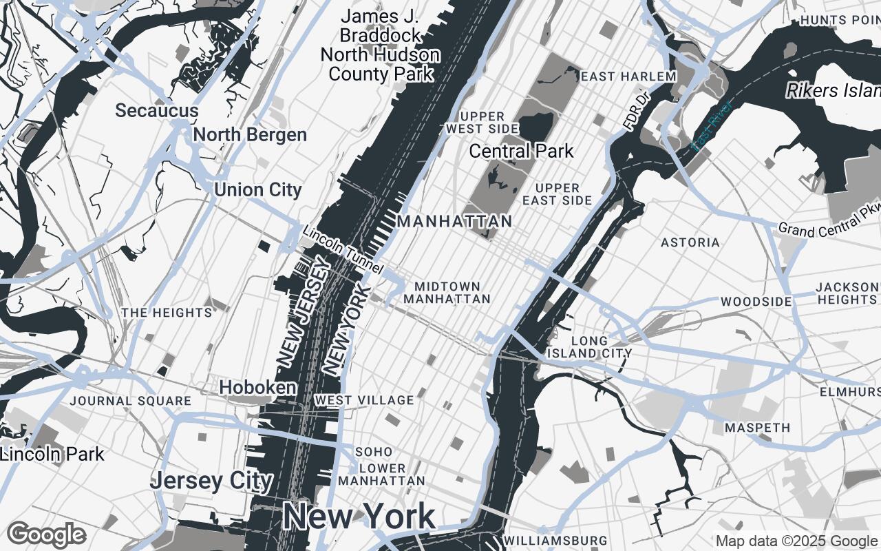
Today, we are thrilled to introduce Spatial Canvas, a revolutionary Google Maps style meticulously crafted for the architectural and interior design community. Spatial Canvas isn't just a new look; it's a new lens through which designers can perceive and interact with the built environment, transforming how projects are conceived, analyzed, and presented.
Understanding the Spatial Canvas Philosophy: Clarity, Context, and Precision
At its core, Spatial Canvas embodies the needs of a discerning professional who requires precise spatial context, material awareness, and a visually clean aesthetic for urban and interior design projects. Our brief was clear: to develop a sophisticated Google Maps style that prioritizes clarity, structural hierarchy, and a refined aesthetic, minimizing visual clutter to highlight essential spatial data. The result is a style that offers a perfect balance of detail and abstraction, enabling designers to quickly grasp site context, analyze urban fabric, and seamlessly integrate design concepts with real-world environments.
This philosophy is rooted in the understanding that every line, every color, and every label on a map contributes to—or detracts from—a designer's ability to interpret space. Spatial Canvas is designed to enhance that interpretation, providing a foundation for informed decision-making from the earliest stages of a project.
Key Design Principles: How We Built the Visual Language
Developing Spatial Canvas involved a deep dive into the visual language of design, translating architectural principles into cartographic elements. Our core design principles guided every decision:
- Clarity over Clutter: We ruthlessly minimized non-essential information, de-emphasizing distracting points of interest and extraneous labels. The focus is always on the fundamental spatial elements relevant to design.
- Structural Hierarchy: Roads, buildings, and land uses are rendered with a clear visual hierarchy, allowing designers to instantly understand the scale and relationship of different urban components.
- Contextual Awareness: While clean, the map provides ample surrounding context without overwhelming the primary focus area. It's about understanding the neighborhood, not just the lot.
- Materiality through Texture/Tone: Subtle variations in tone and texture are used to suggest different material types and land uses—water bodies, green spaces, and built environments are distinct yet harmonious.
- Print-Ready Aesthetics: Designed for both digital screens and high-quality print outputs, Spatial Canvas ensures that your site plans and presentations maintain a professional, polished look.
- Scalable Detail: The style maintains its integrity and legibility across all zoom levels, from a broad urban overview to a detailed site plan.
- Subtle Brand Integration: The aesthetic is professional and unobtrusive, allowing your project's design to take center stage.
The Palette of Purpose: Color Theory for Architectural Insight
The visual power of Spatial Canvas lies in its carefully curated color palette, chosen not just for beauty, but for its ability to convey information and evoke a sense of professional calm. Each hue serves a specific purpose:
- Accent (
#B0C4DE- Light Steel Blue): This soft, yet distinct blue is reserved for highlighting key features, user-defined points of interest, or specific project boundaries, drawing the eye without being jarring. - Neutrals (
#F5F5F5,#D0D0D0,#A0A0A0,#606060): A sophisticated range of grays forms the backbone of the map, providing a clean, unobtrusive canvas for land, roads, and building masses. These tones ensure legibility and a timeless aesthetic. - Primary (
#2A363B- Dark Slate Gray): Used for primary text, major road outlines, and strong architectural elements, this deep, rich gray provides necessary contrast and definition. - Secondary (
#8D8C8A- Medium Gray): A softer gray for secondary text, minor roads, and subtle details, ensuring that information is present but not dominant.
This palette works in concert to create a map that is both informative and visually soothing, allowing designers to focus on the spatial relationships and design opportunities without visual fatigue.
Feature Prioritization: What Matters Most to Designers
Spatial Canvas redefines what's important on a map for design professionals. We've prioritized elements that directly impact architectural and urban design decisions:
- Building Footprints: Clearly defined and subtly shaded to convey massing and density.
- Road Networks: Rendered with a clear hierarchy, distinguishing major arteries from local streets, crucial for understanding access and traffic flow.
- Green Spaces and Water Bodies: Distinctly colored and textured to highlight natural elements and their integration into the urban fabric.
- Topographical Cues: Subtle elevation changes are indicated where data allows, providing critical context for site grading and drainage.
Conversely, we've de-emphasized or removed elements like overly bright commercial icons, distracting tourist attractions, and non-essential labels that often clutter standard maps. The goal is a map that speaks the language of design.
From Blueprint to Map: Integrating Digital Context into Design Workflows
Spatial Canvas bridges the gap between conceptual design and real-world context. It transforms Google Maps from a simple navigation tool into an indispensable design asset. Imagine:
- Seamless Site Analysis: Quickly overlaying your initial massing studies onto a clean, contextual map.
- Informed Urban Planning: Visualizing the impact of new developments within the existing urban fabric with unparalleled clarity.
- Enhanced Client Presentations: Presenting design concepts with a professional, aesthetically pleasing map background that reinforces your attention to detail.
This style facilitates a more intuitive understanding of a project's surroundings, allowing designers to make more informed decisions regarding site orientation, views, access, and environmental impact.
Practical Applications: Site Analysis, Urban Planning, and Interior Context
The versatility of Spatial Canvas extends across various stages and types of design projects:
- Site Analysis: Evaluate solar orientation, prevailing winds, pedestrian and vehicular access, adjacent building heights, and existing landscape features with a clear, uncluttered base map.
- Urban Planning & Master Planning: Visualize urban fabric, density, public spaces, and potential development zones. Understand the interplay of built and unbuilt environments to inform strategic planning decisions.
- Interior Context: Even for interior designers, understanding the building's relationship to its immediate exterior and urban setting is crucial. Spatial Canvas provides this external context, influencing decisions about natural light, views, and material connections to the outside.
- Feasibility Studies: Quickly assess the viability of a site for a proposed project, considering its surroundings and infrastructure.
Future Enhancements: Potential for Layered Data and Custom Overlays
The launch of Spatial Canvas is just the beginning. We envision a future where this foundational style can be further enhanced with dynamic, layered data and custom overlays, offering even deeper insights:
- Integrated Topographical Data: More detailed elevation contours and 3D terrain representation.
- Zoning and Regulatory Information: Overlaying local zoning maps directly onto the Spatial Canvas.
- Public Transport Routes: Highlighting transit lines and stations relevant to urban connectivity.
- User-Defined Layers: The ability for designers to easily add their own project-specific data, such as proposed building footprints, circulation paths, or landscape elements.
- Environmental Data: Layers showing sun paths, wind patterns, or green infrastructure.
Conclusion: Redefining Design with Intelligent Mapping
Spatial Canvas represents a significant leap forward in providing design professionals with the intelligent mapping tools they deserve. By prioritizing clarity, structural hierarchy, and a refined aesthetic, we've created a Google Maps style that not only looks exceptional but also empowers architects, interior designers, and urban planners to make more precise, context-aware, and aesthetically informed decisions.
Step into a new era of design where your maps are as sophisticated as your visions. Experience Spatial Canvas and redefine how you interact with the world around your designs.