Elevating Urban Context: The Design Canvas Map for Architects
A New Google Maps Style for Precision Site Analysis and Seamless Design Integration
Elevating Urban Context: The Design Canvas Map for Architects
A New Google Maps Style for Precision Site Analysis and Seamless Design Integration
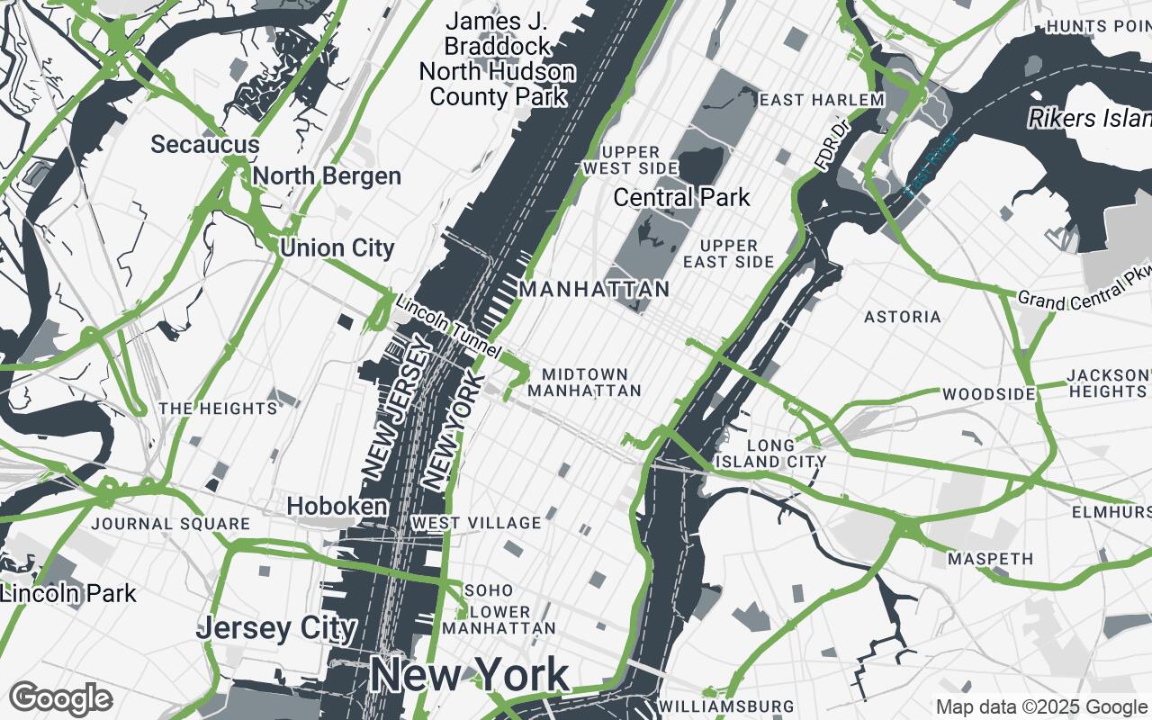
For architects, urban planners, and interior designers, the initial phase of any project is often the most critical: understanding the site. This involves a meticulous analysis of urban fabric, natural topography, existing infrastructure, and the myriad invisible forces that shape a location. Yet, for too long, the tools available for this foundational work have fallen short. Standard mapping services, while excellent for navigation, often present a visual cacophony of information, obscuring the very details design professionals need to see clearly.
The Need for a Designer-Centric Map
Imagine a map that speaks your language – a canvas where the essential elements of a site are highlighted with precision, and visual noise is meticulously stripped away. This is the vision behind the Design Canvas Map, a revolutionary new Google Maps style tailored specifically for the design community. It transforms Google Maps from a general-purpose navigation aid into an indispensable tool for site analysis, conceptual design, and client presentations.
Traditional maps, with their vibrant colors, dense points of interest, and often overwhelming labels, can hinder rather than help the design process. They force professionals to mentally filter out irrelevant data, a time-consuming and often imprecise task. The Design Canvas Map addresses this directly, providing a clean, precise, and contextually rich map view that supports every stage of the design workflow with unparalleled clarity.
Core Principles: Clarity, Precision, and Aesthetic Neutrality
The development of the Design Canvas Map was guided by a set of core principles, each designed to empower architects and designers:
- Clarity over Clutter: The paramount goal is to minimize non-essential information, allowing critical features to stand out without distraction.
- Contextual Precision: Highlighting relevant urban and natural features with accuracy, ensuring a deep understanding of the site's environment.
- Aesthetic Neutrality: Providing a clean, understated canvas that serves as an ideal backdrop for overlaying design proposals without visual interference.
- Legibility & Hierarchy: Ensuring that critical information, from road networks to building footprints, is easily digestible and organized by importance.
- Scalability & Detail: Maintaining usefulness and appropriate levels of detail across various zoom levels, from broad urban planning to detailed site layouts.
- Subtle Topography: Integrating elevation and natural contours subtly yet effectively for a comprehensive understanding of the site's three-dimensional qualities.
- Print-Ready Quality: Optimizing the map's visual characteristics for both digital display and high-quality physical output, crucial for reports and presentations.
These principles ensure that the Design Canvas Map is not just another map style, but a purpose-built instrument for creative professionals.
Stripping Away Clutter: What Stays, What Goes
The most immediate and striking difference of the Design Canvas Map is its deliberate minimalism. Gone are the bright, often conflicting colors of commercial establishments, the multitude of small business icons, and the overwhelming density of text labels that characterize standard maps. Instead, the focus shifts to the fundamental elements that define a site:
- Building Footprints: Clearly delineated and subtly shaded, providing an immediate sense of urban density and massing.
- Road Networks: Rendered with a clear hierarchy, distinguishing major arteries from local streets, without distracting traffic data.
- Water Bodies: Presented with a calming, consistent tone, emphasizing their role in the landscape.
- Green Spaces: Parks, forests, and open areas are clearly identifiable, crucial for understanding environmental context and potential for public space.
- Key Landmarks: Select, significant landmarks are retained, offering essential orientation without overwhelming the view.
This thoughtful reduction of visual noise allows architects to quickly grasp spatial relationships, analyze adjacencies, and identify opportunities and constraints with unprecedented ease.
The Palette of Purpose: Colors Optimized for Design Workflows
The aesthetic neutrality of the Design Canvas Map is largely achieved through its carefully curated color palette. Eschewing vibrant, attention-grabbing hues, the style employs a sophisticated range of neutrals, complemented by a restrained primary, secondary, and accent color:
- Neutrals (
#F5F5F5,#E0E0E0,#C7C7C7,#AFAFAF): These form the foundation of the map, providing a clean, unobtrusive background that allows design overlays to truly pop. Different shades are used for land, less significant buildings, or subtle textural variations. - Primary (
#3A4750): A deep, professional grey used for prominent features like major roads and significant building outlines, ensuring legibility and structure. - Secondary (
#818D92): A softer grey, applied to water bodies and less critical infrastructure, providing contrast without dominance. - Accent (
#6A994E): A subtle, earthy green reserved for natural features like parks and forests, or potentially for highlighting specific areas of interest during analysis. This color is chosen to be present but not overwhelming, maintaining the map's overall neutrality.
This palette is not just visually appealing; it's functionally optimized. It ensures that when architects overlay their own vibrant design proposals, the map recedes gracefully, providing context without competing for attention. It's also designed for excellent print quality, ensuring consistency from screen to paper.
Leveraging Topography and Natural Features
Understanding the natural contours of a site is fundamental to responsible and innovative design. The Design Canvas Map integrates subtle topographical cues, allowing designers to perceive elevation changes without the clutter of excessive contour lines. Gentle shading and nuanced color variations hint at the terrain, providing a three-dimensional understanding that is crucial for:
- Site Grading and Drainage: Informing decisions about water management and earthworks.
- Building Orientation: Optimizing for views, solar gain, and wind patterns.
- Landscape Integration: Seamlessly blending built forms with the natural environment.
Water bodies are rendered with a consistent, calming tone, and green spaces are clearly delineated, emphasizing their ecological and recreational value. This holistic approach to natural features empowers designers to create projects that are in harmony with their surroundings.
Seamless Integration with Design Software and Presentations
The true power of the Design Canvas Map lies in its utility within the professional workflow. Its clean aesthetic makes it an ideal base layer for direct integration into various design software:
- CAD/BIM Software: Export the map as a high-resolution image or vector data (where supported) to use as an underlay for drafting and modeling.
- GIS Platforms: Combine with other geospatial data for advanced analysis.
- Graphic Design Tools: Easily incorporate into presentation boards, reports, and client proposals without needing extensive post-processing to remove visual clutter.
The map's aesthetic neutrality ensures that design proposals, rendered in their full glory, can be overlaid directly onto the site context without visual conflict. This streamlines the creation of compelling visuals for stakeholders, making it easier to communicate design intent and site response.
Case Studies: How Architects Are Using Design Canvas Map
Across various disciplines, the Design Canvas Map is already proving its worth:
- Urban Infill Project (Architecture Firm): An architectural team used the Design Canvas Map to quickly assess the massing of adjacent buildings, identify critical setbacks, and understand pedestrian flow for a new mixed-use development. The clear building footprints and road hierarchy allowed for rapid conceptual massing studies directly on the map, saving hours in initial site modeling.
- Coastal Park Redevelopment (Landscape Architecture Studio): A landscape architecture studio leveraged the subtle topography and clear delineation of water bodies to plan a resilient coastal park. They used the map to visualize potential flood zones and design natural drainage solutions, integrating new pathways and planting schemes that respected the existing contours.
- Campus Master Plan (Urban Planning Consultancy): An urban planning consultancy utilized the map for a university campus expansion. The uncluttered view of existing buildings, green spaces, and circulation paths enabled them to propose new academic buildings and public plazas that seamlessly integrated with the campus's historical fabric and future growth strategy.
These examples highlight how the Design Canvas Map enhances efficiency and precision, allowing designers to focus on creative problem-solving rather than wrestling with map data.
Future Enhancements: 3D Visualization and Data Overlays
The Design Canvas Map is an evolving tool. Future enhancements are envisioned to further empower design professionals:
- Integrated 3D Building Models: Providing a more immersive understanding of urban context with accurate building heights and forms.
- Advanced Topographical Data: Offering more detailed elevation information for complex site analyses.
- Dynamic Data Overlays: The ability to toggle layers for zoning regulations, demographic data, traffic patterns, sun path analysis, and environmental factors directly on the map, transforming it into a truly dynamic analytical platform.
These planned features will continue to push the boundaries of what a mapping tool can offer to the design community.
Transforming Site Analysis: From Static Image to Dynamic Tool
The Design Canvas Map represents a significant leap forward for architects, urban planners, and interior designers. It moves beyond the limitations of static, information-dense maps to offer a dynamic, intelligent, and aesthetically refined tool. By prioritizing clarity, precision, and aesthetic neutrality, it empowers professionals to conduct more insightful site analyses, develop more contextually sensitive designs, and present their visions with unparalleled clarity.
Embrace the future of site analysis. Experience the Design Canvas Map and transform your design workflow, turning every site into a clean, intelligent canvas awaiting your creative touch.