DesignLens Cartography: Elevating Google Maps for Architectural Precision
A bespoke visual style transforming standard maps into indispensable tools for architects, interior designers, and urban planners.
DesignLens Cartography: Elevating Google Maps for Architectural Precision
A bespoke visual style transforming standard maps into indispensable tools for architects, interior designers, and urban planners.
In the intricate world of architecture, interior design, and urban planning, precision, context, and aesthetic sensibility are paramount. Every line, every material, every spatial relationship contributes to the final vision. Yet, when it comes to foundational tools like mapping, professionals often find themselves navigating a landscape designed for the general public, not for the nuanced demands of design.
The Need for Design-Centric Maps: Why Architects Require More Than Standard Navigation
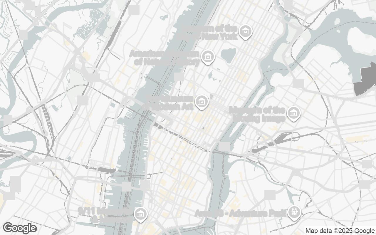
Standard Google Maps, while undeniably powerful for navigation and general exploration, present a significant challenge for design professionals. They are optimized for immediate utility – finding the nearest coffee shop, identifying traffic patterns, or locating a specific address. This optimization often translates into:
- Visual Clutter: An abundance of points of interest (POIs), vibrant color schemes, and promotional overlays that distract from core spatial information.
- Lack of Hierarchy: Essential structural elements, topographical nuances, and infrastructure often blend into the background, making site analysis cumbersome.
- Aesthetic Disconnect: The bright, consumer-oriented palette rarely aligns with the sophisticated visual language required for professional presentations or design conceptualization.
Architects, interior designers, and urban planners need a map that acts as a clean canvas, a precise instrument for understanding the built environment, not just navigating it. They require a tool that facilitates site analysis, informs material choices, and enhances client communication with clarity and elegance.
Introducing DesignLens Cartography: A New Paradigm for Spatial Visualization
We are thrilled to introduce DesignLens Cartography, a revolutionary Google Maps visual style meticulously crafted for the discerning eye of the design professional. DesignLens Cartography is not just a different color scheme; it's a fundamental reinterpretation of spatial data, prioritizing spatial clarity, material context, and a refined aesthetic.
Tailored specifically for architects, interior designers, and urban planners, this style transforms Google Maps into an essential tool for site analysis and design inspiration. It caters to professionals who need precise, uncluttered visual information to inform their creative and technical work, offering a clean, functional, and elegant interface that makes complex urban environments understandable and inspiring.
Core Principles: Clarity, Hierarchy, and Context in Urban Mapping
DesignLens Cartography is built upon a set of rigorous design principles, ensuring every visual element serves a purpose:
- Clarity over Clutter: We prioritize essential information, minimizing distracting elements like excessive POIs and promotional icons. The map becomes a focused canvas.
- Hierarchical Emphasis: Visual weight and color are strategically employed to guide attention to critical features, allowing for quick identification of key structural and contextual elements.
- Contextual Awareness: The style highlights the built environment, infrastructure, and relevant spatial relationships, providing a deeper understanding of the project's surroundings.
- Subtle Materiality: Through refined color and texture, DesignLens subtly suggests different urban surfaces and building types, aiding in preliminary material and environmental assessments.
- Professional Aesthetic: We maintain a sophisticated, timeless, and neutral design language, ensuring the map integrates seamlessly into professional documents and presentations.
- Legibility & Precision: All labels and geometries are rendered with exceptional sharpness, ensuring they are easily discernible across various scales.
- Scalability: Design elements are crafted to remain clear and effective across all zoom levels, from a broad urban overview to a detailed site plan.
Key Features: De-cluttering the Map for Professional Analysis
DesignLens Cartography actively reduces visual noise, allowing the underlying spatial data to emerge with unprecedented clarity. Key features include:
- Minimalist POI Display: Only essential landmarks and infrastructure are subtly indicated, removing the visual cacophony of commercial listings.
- Enhanced Topographical Detail: Subtle shading and contouring bring elevation changes and natural features to the forefront, crucial for site planning.
- Clear Infrastructure Delineation: Roads, pathways, and public transport lines are rendered with a clear hierarchy, distinguishing primary arteries from pedestrian routes.
- Building Footprint Emphasis: Building outlines are crisp and distinct, providing immediate understanding of urban density and massing.
- Water Body Definition: Rivers, lakes, and coastal lines are rendered with a serene clarity, emphasizing their role in the urban fabric.
Palette & Aesthetics: A Sophisticated Visual Language for Designers
The visual language of DesignLens Cartography is a testament to understated elegance. Our carefully curated palette ensures a sophisticated, timeless, and neutral foundation for any design project.
- Primary Base (
#E8EBE0) & Secondary Accents (#C7D0D8): These form the calm, earthy foundation of the map, reminiscent of architectural drawings and natural materials. - Neutrals (
#F9F9F9to#303030): A gradient of subtle grays provides depth and contrast, defining different urban elements without overwhelming the eye. Lighter tones for open spaces, darker for dense areas or specific features. - Accent Color (
#8C52FF): A carefully chosen, muted violet serves as a sophisticated accent, used sparingly to highlight specific features or user-defined points of interest, drawing attention without shouting.
This palette ensures that the map serves as a refined backdrop, allowing your design interventions to take center stage, rather than competing with the map's inherent style.
Practical Applications: Site Analysis, Client Presentations, and Project Planning
DesignLens Cartography transforms Google Maps into an indispensable tool across the design workflow:
- Site Analysis: Quickly identify key site constraints, opportunities, sun paths, and pedestrian flows without visual distractions.
- Conceptual Design: Use the clean base map to sketch ideas, understand urban context, and visualize massing studies directly on a precise spatial canvas.
- Client Presentations: Present site information and design proposals with unparalleled clarity and professionalism, enhancing credibility and understanding.
- Urban Planning: Analyze existing infrastructure, green spaces, and development patterns with a focus on spatial relationships and potential impact.
- Material Context: The subtle materiality cues can inform early-stage material selection, considering how proposed designs interact with existing urban textures.
From Navigation to Inspiration: How DesignLens Fuels Creative Work
Beyond its practical applications, DesignLens Cartography is designed to inspire. By stripping away the superfluous, it reveals the inherent beauty and complexity of the urban environment. It encourages a deeper engagement with place, fostering a more thoughtful and context-aware design process. It transforms a functional tool into a source of creative insight, allowing designers to see the city not just as a collection of buildings, but as a dynamic, interconnected system waiting to be shaped.
Implementing the Style: A Guide to Google Maps Platform Customization
Integrating DesignLens Cartography into your workflow is straightforward. Leveraging the power of the Google Maps Platform, this bespoke style can be easily applied to your web and mobile applications. Developers can implement the DesignLens JSON style configuration, allowing for seamless integration and consistent visual representation across all your projects. This flexibility ensures that the refined aesthetic and functional clarity of DesignLens are always at your fingertips.
Beyond the Blueprint: The Future of Spatial Intelligence in Design
DesignLens Cartography represents a significant step forward in bridging the gap between generic mapping and specialized design needs. It underscores our commitment to empowering architects, interior designers, and urban planners with tools that truly understand and support their unique creative and technical processes. As spatial intelligence continues to evolve, DesignLens will remain at the forefront, continually refining how we perceive, analyze, and ultimately design the world around us. Embrace the clarity, precision, and elegance that DesignLens Cartography brings to your next project, and redefine how you interact with the built environment.