Designing with Maps: Introducing SpatialSense for Architects and Interior Designers
Elevating Project Planning and Site Analysis with a Purpose-Built Google Maps Style
Designing with Maps: Introducing SpatialSense for Architects and Interior Designers
Elevating Project Planning and Site Analysis with a Purpose-Built Google Maps Style
In the intricate world of architecture, urban planning, and interior design, context is everything. Every line drawn, every material chosen, and every space conceived is deeply influenced by its surroundings. For decades, maps have served as an indispensable tool, providing the foundational understanding of a project's site and its broader environment. However, as design methodologies evolve and projects grow in complexity, the limitations of generic mapping solutions have become increasingly apparent.
The Evolving Role of Maps in Architectural Design
From initial site selection to detailed urban master plans, maps are the silent partners in every design journey. They inform our understanding of topography, infrastructure, existing built forms, and the intricate web of human activity that defines a location. Architects use them to analyze sun paths and wind directions, urban planners to strategize transportation networks, and interior designers to understand external views and neighborhood character. The demand for precise, relevant, and visually intelligent mapping data has never been higher, pushing the boundaries of what traditional maps can offer.
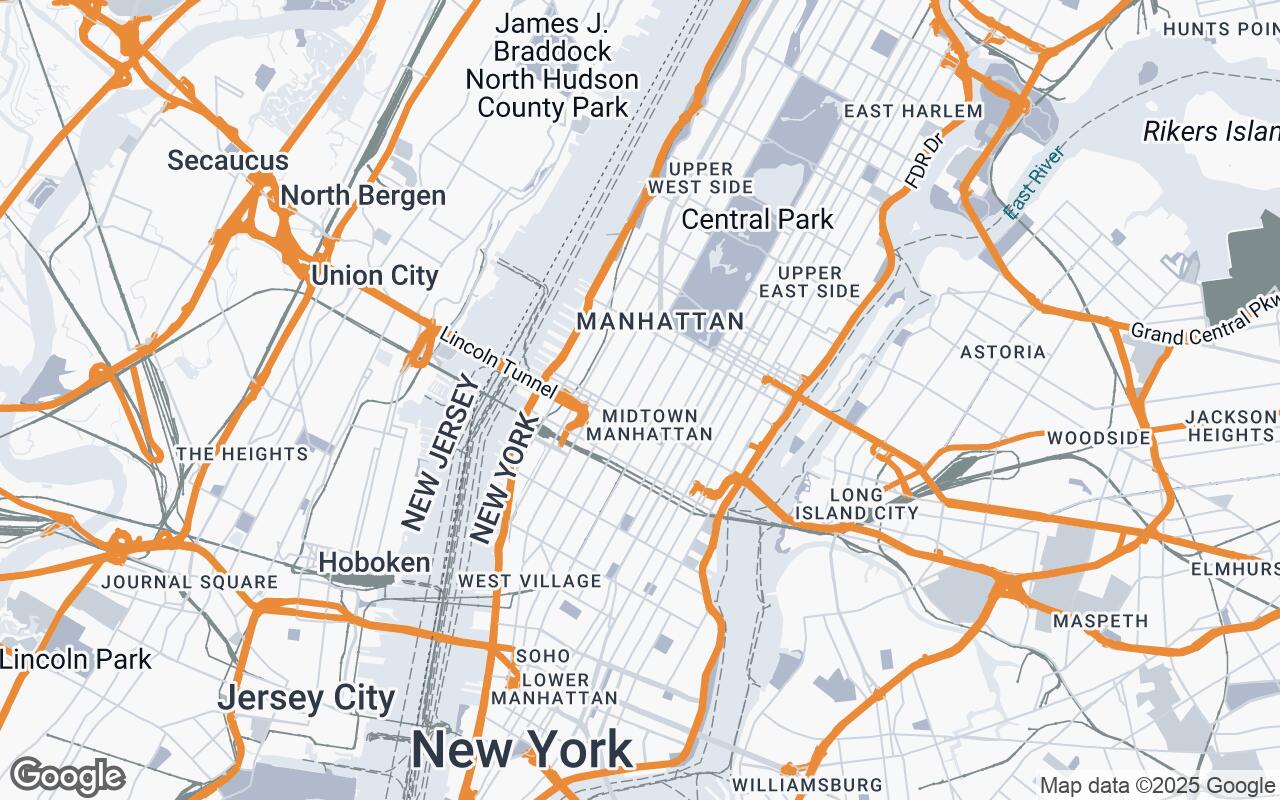
Challenges with Standard Mapping for Design Professionals
While widely accessible, standard Google Maps styles, designed for general navigation and discovery, often present significant hurdles for design professionals. They are typically laden with visual noise – an abundance of points of interest, vibrant color schemes, and promotional overlays that, while useful for a tourist, obscure the critical data needed for design analysis. This clutter forces designers to mentally filter out irrelevant information, leading to:
- Visual Distraction: Overwhelm from non-essential labels and icons.
- Lack of Emphasis: Key architectural and infrastructural elements are often downplayed.
- Inconsistent Aesthetics: Color palettes and graphic styles that clash with professional design presentations.
- Reduced Clarity: Difficulty in discerning building footprints, property lines, and topographical nuances.
These challenges not only impede efficient site analysis but also compromise the clarity and professionalism of design presentations.
Introducing SpatialSense: A New Paradigm for Design-Centric Mapping
We are thrilled to introduce SpatialSense, a revolutionary new Google Maps style meticulously crafted for architects, urban planners, and interior designers. SpatialSense reimagines Google Maps with an unwavering focus on the built environment, offering a clean, analytical aesthetic that transforms how you interact with spatial data.
SpatialSense prioritizes clarity of infrastructure, building footprints, and topographical details, while minimizing visual noise from non-essential elements. It is designed to enhance spatial understanding and facilitate design-centric decision-making, providing a professional, uncluttered backdrop for your creative endeavors. For professionals who require a precise, context-rich visual representation of urban and architectural environments, SpatialSense is the definitive solution.
Key Design Principles: Clarity, Precision, and Aesthetic Integration
Every aspect of SpatialSense has been developed around a core set of design principles, ensuring it meets the rigorous demands of the design community:
- Clarity over Clutter: We emphasize essential urban elements, stripping away visual distractions to reveal the underlying structure of the built environment.
- Hierarchical Information: Relevant data is prioritized through intelligent visual weighting, ensuring that critical information stands out without overwhelming the user.
- Contextual Precision: SpatialSense highlights architectural and infrastructural details with unparalleled accuracy, providing a true-to-life representation of your project's context.
- Subtle Aesthetics: A muted color palette and clean lines define a professional, sophisticated look that complements any design presentation.
- Functional Readability: We guarantee legibility across all scales and devices, from a broad urban overview to a detailed site plan.
- Scalable Detail: The level of detail intelligently adapts based on your zoom level, providing the right amount of information at every stage of your analysis.
- Design-Centric Focus: SpatialSense is purpose-built to support architectural and interior design workflows, integrating seamlessly into your creative process.
Deconstructing the SpatialSense Palette: Colors that Communicate
The visual language of SpatialSense is defined by a carefully curated color palette, chosen not just for its aesthetic appeal but for its ability to communicate information effectively and subtly. This palette ensures that the map serves as a professional, analytical tool rather than a vibrant distraction.
- Primary Text & Major Features (
#343A40): A deep, sophisticated charcoal gray provides high contrast for essential text, major road networks, and prominent building outlines, ensuring critical information is immediately legible. - Secondary Elements & Water Bodies (
#6C757D): A balanced medium gray is used for less prominent text, secondary roads, and water features, offering visual separation without competing with primary data. - Neutral Backgrounds & Topography (
#F8F9FA,#E9ECEF,#DEE2E6,#CED4DA): A range of light, cool grays forms the foundation of the map, providing a clean, unobtrusive backdrop. These subtle variations are expertly used to delineate land use, topographical changes, and less critical areas, allowing the built environment to take center stage. - Accent for Highlights (
#FFC107): A warm, inviting amber serves as a strategic accent color, reserved for highlighting specific points of interest, project boundaries, or critical data points that require immediate attention. This judicious use ensures its impact is maximized.
This harmonious palette creates a map that is both visually appealing and highly functional, allowing designers to focus on the spatial relationships and contextual nuances that truly matter.
How SpatialSense Enhances Site Analysis and Contextual Understanding
SpatialSense is more than just a pretty map; it's a powerful analytical instrument. By prioritizing relevant data and presenting it with clarity, it significantly enhances your ability to conduct thorough site analysis and gain a deeper contextual understanding:
- Clear Building Massing: Easily identify existing building footprints, their scale, and relationship to the streetscape.
- Infrastructure Clarity: Understand road networks, pedestrian paths, and public transport routes without visual interference.
- Topographical Insights: Subtle elevation changes are rendered with precision, aiding in understanding site drainage, views, and potential for terracing.
- Zoning & Regulatory Context: The clean base map provides an ideal canvas for overlaying zoning information, setback requirements, and other regulatory data.
- Environmental Factors: Better visualize the relationship between your site and natural elements, informing decisions about daylighting, ventilation, and landscape integration.
Practical Applications: From Urban Planning to Interior Layouts
SpatialSense is designed to be a versatile tool across the entire spectrum of design disciplines:
- Urban Planning & Master Planning: Develop comprehensive urban strategies, analyze traffic flow, and design public spaces with an unparalleled understanding of the existing fabric.
- Architectural Design: Conduct initial site studies, develop massing models, and understand how a new building integrates into its immediate surroundings and the broader cityscape.
- Interior Design: While focused on the exterior, SpatialSense helps interior designers understand external views, light ingress, and the character of the neighborhood, informing material choices and spatial arrangements.
- Landscape Architecture: Plan green spaces, pedestrian networks, and water features by accurately assessing existing topography and vegetation patterns.
Integrating SpatialSense into Your Design Workflow
Integrating SpatialSense into your existing design workflow is seamless. As a custom Google Maps style, it can be easily applied within various platforms that support Google Maps API integration. This means you can leverage its benefits directly within your preferred GIS software, presentation tools, or even custom web applications. The enhanced clarity and professional aesthetic will not only streamline your analytical process but also elevate the quality of your client presentations, fostering clearer communication and more informed decision-making.
Future Enhancements and Community Contributions
The journey of SpatialSense is just beginning. We are committed to continuous improvement, with plans for future enhancements that may include more detailed 3D building data, specialized overlays for environmental analysis, and even greater customization options. We invite the architectural and design community to contribute feedback and suggestions, helping us evolve SpatialSense into an even more indispensable tool for your practice.
Conclusion: Mapping the Future of Architectural Visualization
SpatialSense represents a significant leap forward in design-centric mapping. By offering a Google Maps style that is purpose-built for the unique needs of architects, urban planners, and interior designers, we are providing a tool that not only clarifies complex spatial information but also inspires more thoughtful and contextually sensitive design. Embrace SpatialSense and transform the way you see, analyze, and design the built environment. The future of architectural visualization is here, and it's clearer than ever before.