Designing with Context: Architect's Canvas Google Maps Style
A minimalist, precision-focused map style for architects and interior designers, enhancing spatial understanding and project visualization.
Designing with Context: Architect's Canvas Google Maps Style
A minimalist, precision-focused map style for architects and interior designers, enhancing spatial understanding and project visualization.
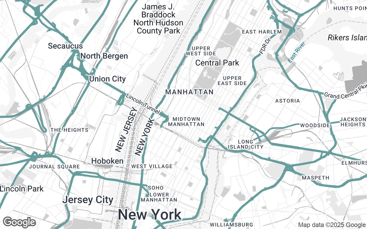
In the intricate world of architecture, urban planning, and interior design, every line, every form, and every spatial relationship holds profound significance. Yet, for too long, the foundational tool of cartography—the humble map—has often fallen short of the exacting standards these professions demand. Standard digital maps, while rich in information, frequently present a visual cacophony of colors, labels, and points of interest that obscure rather than illuminate the critical context designers need. This challenge has inspired the creation of Architect's Canvas, a revolutionary new Google Maps style meticulously crafted for professionals who require a clean, precise, and context-rich visual environment.
Architect's Canvas strips away visual clutter, presenting urban and interior landscapes with unparalleled architectural precision. It highlights structural elements, site context, and essential infrastructure, making it an indispensable tool for project conceptualization, site analysis, and client presentations. The design emphasizes a monochromatic base with strategic accentuation, ensuring critical data stands out without distraction, enabling focused analysis of spatial relationships and built structures.
The Need for Precision: Why Architects Demand More from Maps
For architects and designers, a map is far more than a navigation tool; it's a foundational layer for creativity and analysis. Traditional maps, with their vibrant color schemes and dense information overlays, can inadvertently hinder the design process. Imagine trying to conceptualize a building's footprint or an urban park's integration when the base map is battling for attention with its own visual narrative.
Design professionals require:
- Unambiguous Site Context: Clear delineation of property lines, existing structures, and surrounding infrastructure.
- Spatial Clarity: An immediate understanding of scale, distance, and adjacency without visual noise.
- Focus on Form: The ability to perceive the geometric relationships of the built environment.
- Presentation Readability: Maps that look professional and are easy to interpret in reports and client meetings.
Architect's Canvas addresses these needs head-on, offering a visual environment where the map recedes just enough to let the design take center stage, yet remains robust enough to provide all necessary contextual information.
Core Design Principles: Clarity, Geometry, and Context
The development of Architect's Canvas was guided by a set of unwavering design principles, ensuring its utility and aesthetic appeal for the discerning professional:
- Clarity over Clutter: Non-essential information is minimized, allowing designers to focus on what truly matters. This means fewer distracting icons and a streamlined labeling system.
- Geometric Precision: The style emphasizes clean lines and defined forms. Roads, buildings, and land parcels are rendered with sharp edges and clear boundaries, reflecting the precision inherent in architectural drawings.
- Contextual Awareness: While minimalist, the style never sacrifices context. It highlights the built environment and site relationships with subtle yet effective visual cues.
- Subtle Hierarchy: Through careful application of color, line weight, and text size, information is presented with a clear visual hierarchy, guiding the eye to critical data points without overwhelming it.
- Professional Aesthetic: Architect's Canvas maintains a sophisticated and timeless look, aligning perfectly with the high standards of architectural and design presentations.
- Print-Ready: The style is optimized for both crisp digital viewing and high-quality print output, ensuring your maps look impeccable whether on screen or on paper.
Palette Deep Dive: The Power of Monochromatic Harmony and Strategic Accents
At the heart of Architect's Canvas lies a carefully curated color palette designed to foster focus and enhance legibility. The philosophy is simple: let the structures and the designer's work be the focus, not the map itself.
- Monochromatic Neutrals: The base of the map is built upon a sophisticated range of neutrals:
#FFFFFF(pure white for backgrounds),#E8E8E8(lightest grey for subtle fills),#B0B0B0(mid-grey for secondary elements),#707070(darker grey for outlines), and#333333(deepest grey for primary text). These shades ensure a clean, understated backdrop, allowing the map's geometric forms to emerge clearly. - Primary and Secondary Base: A
primarycolor of#F5F5F5provides a soft, almost-white canvas for land areas, while asecondary#D0D0D0offers a gentle contrast for different land uses or urban blocks, creating subtle distinctions without visual noise. - Strategic Accent: A single, striking accent color,
#5A8C8C(a muted teal), is used sparingly and strategically. This color is reserved for critical natural features like water bodies (rivers, lakes) or significant green spaces (parks), drawing just enough attention to these elements to provide essential context without dominating the overall aesthetic. This deliberate use of color ensures that when an accent appears, it serves a clear, functional purpose.
Crafting the Urban Fabric: How Features are Rendered
Every element within Architect's Canvas is styled to maximize clarity and architectural relevance:
- Buildings: Rendered with clean, defined outlines and subtle, flat fills from the neutral palette, emphasizing their form and footprint. Shadows are minimized or absent to maintain a two-dimensional, plan-view aesthetic.
- Roads and Paths: Displayed with varying line weights to denote hierarchy (e.g., highways vs. local streets) but always in muted greys. This ensures they provide essential connectivity information without becoming visually dominant.
- Water Features: Prominently highlighted using the
#5A8C8Caccent color, offering a clear and refreshing contrast to the monochromatic urban fabric, instantly conveying the presence of hydrological elements. - Land Use: Parks, forests, and other open spaces are subtly differentiated using lighter neutral fills or a very gentle texture, providing contextual information without distracting from the built environment.
Labeling for Clarity: Hierarchical Text and Essential POIs
Text on Architect's Canvas is designed for ultimate legibility and minimal intrusion. Labels are carefully placed to avoid overlap and are rendered in a clean, sans-serif typeface using the darker neutral tones (#333333, #707070).
- Hierarchical Text: Larger font sizes and bolder weights are reserved for major urban centers and significant landmarks, while smaller, lighter text is used for street names and less prominent features. This subtle hierarchy ensures that the most important information is immediately discernible.
- Essential POIs: Points of Interest (POIs) are drastically reduced compared to standard maps. Only truly essential landmarks or infrastructure relevant to design context (e.g., major transportation hubs, public institutions) are included, and even these are represented with minimalist icons or text labels to maintain the clean aesthetic.
Practical Applications: From Site Analysis to Client Presentations
Architect's Canvas is more than just a beautiful map style; it's a powerful tool designed to integrate seamlessly into every stage of the design process:
- Site Analysis & Selection: Quickly assess topography, existing structures, adjacencies, and environmental factors with a clear, uncluttered view.
- Conceptual Design: Use the clean map as a perfect base layer for sketching, overlaying initial design ideas, and understanding how new proposals interact with their surroundings.
- Urban Planning & Master Planning: Visualize infrastructure, zoning, and public spaces with precision, facilitating informed decision-making.
- Client Presentations: Impress clients with professional, easy-to-understand visuals that highlight the project's context without visual distractions, allowing the design to speak for itself.
- Interior Design Context: Even for interior projects, understanding the immediate exterior context—like views, access points, and surrounding buildings—is crucial, and Architect's Canvas provides this with elegance.
Customization and Integration: Leveraging Google Styled Maps
Built upon the robust Google Maps Platform, Architect's Canvas offers unparalleled flexibility. It can be easily integrated into various digital environments, from web applications and mobile apps to desktop GIS software, leveraging the power of Google Styled Maps.
Designers and developers can:
- Embed with Ease: Integrate the style into project websites or interactive presentations with minimal effort.
- API Access: Utilize the Google Maps JavaScript API or Static Maps API to programmatically generate maps with the Architect's Canvas style, allowing for dynamic data overlays.
- Further Customization: While Architect's Canvas provides a strong foundation, the Google Maps Platform allows for further customization, enabling users to add project-specific data layers, custom markers, or even adjust certain elements of the style to perfectly match unique project requirements.
Future Directions: Evolving the Architect's Canvas for Emerging Needs
Architect's Canvas is not a static product; it is a living tool designed to evolve with the needs of the design community. We envision future enhancements that could include:
- Enhanced 3D Support: Exploring subtle 3D rendering options that maintain clarity while offering additional spatial context.
- Industry-Specific Overlays: Developing optional layers for specific design disciplines, such as public transport routes for urban planners or utility lines for infrastructure projects.
- Community Feedback Integration: Continuously refining the style based on input from architects, designers, and urban planners to ensure it remains the most relevant and powerful tool in their arsenal.
Architect's Canvas represents a significant step forward in bridging the gap between sophisticated design and practical cartography. It empowers architects, urban planners, and interior designers to visualize, analyze, and present their work with unprecedented clarity and precision, truly transforming the map into an architect's canvas.