Archimap Pro: Redefining Google Maps for the Design Professional
Unlocking Precision and Context for Architects, Planners, and Interior Designers
Archimap Pro: Redefining Google Maps for the Design Professional
Unlocking Precision and Context for Architects, Planners, and Interior Designers
For too long, design professionals have navigated a world of generic maps, struggling to extract the precise, context-rich information vital for their craft. Standard mapping tools, while excellent for navigation, often present a visual cacophony of irrelevant data, obscuring the critical spatial relationships and urban fabric that define a project's success. Architects, urban planners, and interior designers deserve a tool that speaks their language, a map that is an extension of their studio, not a distraction.
The Need for a Designer-Centric Map
Imagine trying to sketch a detailed building elevation on a canvas cluttered with vibrant advertisements and tourist hotspots. This is often the reality for design professionals using conventional mapping services. The default settings, optimized for general public use, overwhelm with:
- Visual Clutter: Excessive points of interest, vibrant color schemes, and detailed street-level imagery that distract from core spatial analysis.
- Lack of Hierarchy: Inability to easily discern critical infrastructure, building massing, or topographical nuances.
- Limited Contextual Understanding: Difficulty in quickly grasping the essential relationships between a site and its surrounding environment without manual filtering or external data overlays.
This inefficiency translates into lost time, increased effort in data interpretation, and a potential for overlooking crucial site characteristics during the conceptual and planning phases. The design world has been yearning for a mapping solution built from the ground up with their unique needs in mind.
Introducing Archimap Pro: A Blueprint for Success
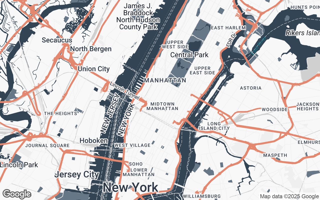
We are thrilled to introduce Archimap Pro, a revolutionary Google Maps style meticulously crafted for architects, urban planners, and interior designers. Archimap Pro reimagines the familiar Google Maps interface, transforming it into a professional-grade tool that prioritizes clarity, precision, and contextual awareness. It offers an uncluttered, blueprint-inspired aesthetic, designed to seamlessly integrate into your design workflow.
Archimap Pro focuses on what truly matters: spatial relationships, building massing, critical infrastructure, and the subtle nuances of the urban fabric. This style empowers design professionals to quickly grasp site context, analyze urban environments with unprecedented clarity, and integrate design concepts with greater confidence and accuracy. It's more than just a map; it's an extension of your design studio, fostering precision in every project phase.
Key Design Principles: Clarity, Context, and Precision
Every element within Archimap Pro has been thoughtfully designed around a core set of principles, ensuring that the map serves as an intuitive and powerful design aid:
- Clarity over Clutter: We ruthlessly prioritize essential urban data, stripping away visual noise to reveal the underlying structure of the built environment.
- Blueprint Aesthetic: The visual language emulates technical drawings, providing a familiar and comfortable environment for professionals accustomed to plans and sections.
- Contextual Awareness: Archimap Pro highlights crucial spatial relationships and environmental factors, enabling a deeper understanding of a site's opportunities and constraints.
- Subtle Hierarchy: Information is presented with a clear, yet understated, visual hierarchy, guiding your attention without overwhelming the senses.
- Professional Neutrality: Distracting colors and excessive detail are avoided, maintaining a focus on analytical interpretation rather than decorative elements.
- Scalability: Legibility and utility are maintained across all zoom levels, from broad urban planning perspectives to detailed site analysis.
- Precision in Representation: We emphasize accurate geometry and clear delineation, crucial for precise measurements and informed design decisions.
Visual Language: A Palette of Professionalism
Archimap Pro's distinctive visual language is a cornerstone of its professional appeal. Our carefully curated palette is designed to evoke the precision and clarity of technical drawings while ensuring optimal readability and focus:
- Primary (
#334455): A deep, sophisticated charcoal blue, forming the backbone of the map's structural elements like major roads and building outlines, providing a strong, authoritative presence. - Secondary (
#667788): A softer, complementary grey-blue, used for secondary features and textual annotations, ensuring legibility without competing with primary elements. - Neutrals (
#F8F8F8,#EFEFEF,#D0D0D0,#A0A0A0): A gradient of light to medium greys forms the canvas of the map, providing clean backgrounds for land areas, parks, and water bodies. This neutral base minimizes visual fatigue and allows key information to stand out. - Accent (
#E07A5F): A warm, inviting terracotta orange, strategically deployed to highlight critical points of interest, specific data layers, or user-defined annotations. This accent color provides a subtle yet effective way to draw attention to important details without disrupting the overall professional aesthetic.
This palette ensures that Archimap Pro is not just functional but also aesthetically pleasing, creating an environment where design professionals can think, analyze, and create without visual distraction.
Enhanced Site Analysis and Urban Planning Capabilities
Archimap Pro elevates your ability to conduct thorough site analysis and urban planning. By stripping away extraneous detail, it brings critical information to the forefront:
- Clear Building Massing: Easily discern building footprints, heights (where available), and overall massing, crucial for understanding urban density, shadow studies, and visual impact.
- Infrastructure Clarity: Road networks, pedestrian pathways, public transport routes, and utility lines are rendered with a clear hierarchy, simplifying infrastructure planning and access analysis.
- Spatial Relationships: Understand adjacencies, setbacks, and the interplay between structures and open spaces with unparalleled clarity.
- Environmental Context: Identify green spaces, water bodies, and topographical features (where data permits) to inform sustainable design and landscape integration.
- Zoning and Regulatory Insights: While not a direct zoning map, the uncluttered view allows for easier overlay of regulatory data, making it simpler to interpret and apply planning guidelines.
Seamless Integration into the Design Workflow
Archimap Pro is designed to be an indispensable part of your daily design process. Whether you're in the initial conceptualization phase, conducting detailed site surveys, or preparing client presentations, Archimap Pro fits right in:
- Early-Stage Conceptualization: Quickly explore multiple site options and understand their inherent challenges and opportunities.
- Preliminary Design: Use the precise visual data to inform massing studies, access strategies, and preliminary material selections.
- Client Presentations: Present site context and design proposals with a professional, clear, and easily understandable visual backdrop.
- Collaboration: Share clear, consistent map views with team members and stakeholders, ensuring everyone is on the same page.
Beyond Navigation: A Tool for Conceptualization
Archimap Pro transcends the traditional role of a map. It's not just about finding your way; it's about finding inspiration. By presenting the urban environment in a clean, analytical light, it encourages designers to see beyond the obvious, to identify patterns, and to conceptualize innovative solutions. It becomes a canvas for your ideas, allowing you to mentally (or digitally, with overlays) sketch, test, and refine your design interventions directly within the context of the real world.
Future Enhancements and Community Feedback
Our journey with Archimap Pro is just beginning. We are committed to continuous improvement and are actively exploring future enhancements, including:
- Integration with common CAD/BIM software for direct data import/export.
- Advanced overlay capabilities for custom data layers (e.g., zoning, sun path analysis, noise contours).
- User-definable style adjustments for even greater personalization.
We invite architects, planners, and designers to join our community, share their insights, and help shape the future of Archimap Pro. Your feedback is invaluable in ensuring this tool evolves to meet the dynamic needs of the design profession.
Transforming Your Design Process with Archimap Pro
Archimap Pro is more than just a new map style; it's a paradigm shift in how design professionals interact with geographical data. By offering unparalleled clarity, precision, and contextual awareness, it empowers you to make more informed decisions, streamline your workflow, and ultimately, create better, more thoughtful designs. Step into a new era of professional mapping – an era where your map is as intelligent and precise as your designs. Discover Archimap Pro today and transform your design process.