Aetherial Cartography: Elevating Google Maps for Architectural & Design Precision
Unlocking New Dimensions of Spatial Analysis and Visualization for Creative Professionals
Aetherial Cartography: Elevating Google Maps for Architectural & Design Precision
Unlocking New Dimensions of Spatial Analysis and Visualization for Creative Professionals
Aetherial Cartography aims to transform Google Maps into an indispensable professional tool. By stripping away visual clutter and enhancing key architectural elements, it enables precise site analysis, conceptual design, and client presentations with unparalleled clarity and aesthetic appeal. This style focuses on delivering actionable insights for spatial design and urban planning.
Who it's for: Designed for architects, urban planners, and interior designers, this style provides a highly functional and aesthetically refined map view that prioritizes spatial relationships, structural context, and design-relevant data over general navigation.
The Need for Specialized Cartography in Design
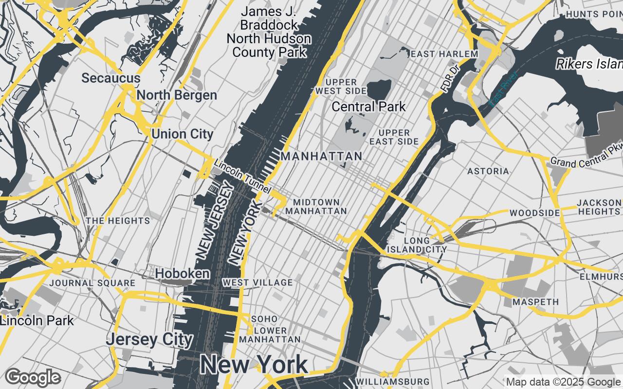
This section explains how the style improves clarity, reduces visual noise, and preserves hierarchy so roads, water, parks, and key POIs read at a glance.
Introducing Aetherial Cartography: A Professional's Perspective
This section explains how the style improves clarity, reduces visual noise, and preserves hierarchy so roads, water, parks, and key POIs read at a glance.
Key Design Principles: Clarity, Precision, and Aesthetic Integration
- Clarity over Clutter: Minimize extraneous details, focusing on essential architectural and urban elements.
- Precision & Accuracy: Emphasize geometric accuracy and clear delineation of boundaries.
- Contextual Readability: Provide just enough context without overwhelming the user.
- Sophisticated Aesthetics: A refined, professional visual language that complements design workflows.
- Scalable Detail: Maintain legibility and relevance across various zoom levels.
- Functional Elegance: Marry beautiful design with practical utility for design professionals.
- Data Layer Focus: Facilitate the overlay of additional design-specific data.
Deconstructing the Palette: Colors that Communicate, Not Distract
- Primary: #3A4750
- Secondary: #C5C6C7
- Accent: #F4D03F
- Neutrals: #E8E8E8, #A9A9A9, #707070, #4A4A4A
Mastering Map Styles: A Guide to Google Styled Maps Implementation
This section explains how the style improves clarity, reduces visual noise, and preserves hierarchy so roads, water, parks, and key POIs read at a glance.
Enhancing Site Analysis and Contextual Understanding
This section explains how the style improves clarity, reduces visual noise, and preserves hierarchy so roads, water, parks, and key POIs read at a glance.
Streamlining Client Presentations with Visually Refined Maps
This section explains how the style improves clarity, reduces visual noise, and preserves hierarchy so roads, water, parks, and key POIs read at a glance.
Beyond Navigation: Leveraging Maps for Strategic Design Decisions
This section explains how the style improves clarity, reduces visual noise, and preserves hierarchy so roads, water, parks, and key POIs read at a glance.
The Future of Spatial Data in Architectural Workflows
This section explains how the style improves clarity, reduces visual noise, and preserves hierarchy so roads, water, parks, and key POIs read at a glance.
Integrating Aetherial Cartography into Your Design Toolkit
This section explains how the style improves clarity, reduces visual noise, and preserves hierarchy so roads, water, parks, and key POIs read at a glance.